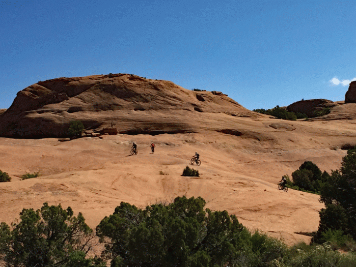
We pulled the plug on winter a few weeks earlier than we had originally planned. Even Tali was ready to leave the snow behind.

Doug checked forecasts so we could travel between storms. We left Cranbrook on Monday March 20 for Missoula, our usual “stock-up” location. To make it really feel that the vacation had begun, we stopped for lunch at Tamarack Brewing, our favourite brew-pub just outside of Kalispell.
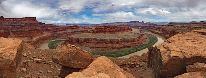
Tuesday was our long haul. We left Missoula wearing down jackets and were in shirt-sleeves by Idaho Falls, ID. Doug was super stoked to have his beer sitting in the sunshine at Willard Bay State Park, which is just north of Salt Lake City, UT.


Wednesday was dedicated to birding. Bear River Migratory Bird Refuge is just a few miles north of Willard Bay. We toured their excellent information centre and took photos of the board that shared recent sightings, then we drove west, past fields and into the “Auto Route” area, a twelve mile one-way stretch of roads built on levees. We got out our new spotting scope and were amazed at what we could see.


There were hundreds of American Avocets way out in the shallows at first spot that we stopped. We could also identify Northern Shovelers, American Wigeons and Cinnamon Teals with the scope, but neglected to bring the adaptor for the iPhone so we could take a photo through the scope. Later in the trip, a couple of Avocets were close enough for Doug to catch with his 300 mm lens.

Here are a pair of Cinnamon Teals and a group of Tundra Swans. (We followed the identification from the Information Centre, because swans are not easy to identify from a distance.) (The photos will probably be too small for you to see in your email, but will render bigger using your browser. Go to: travelswithafox.blog)


We found out the difference between Western Grebes and Clark’s Grebes. (Look at the colouring around the eyes: Western is dark, Clark’s is white)


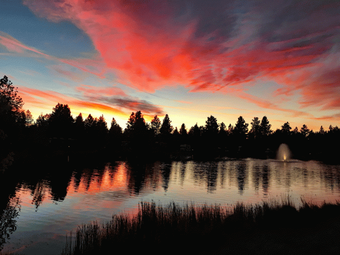
We also saw plenty of California Gulls and lots of Great Blue Herons. We were very satisfied with our day. Wendy saw eight “Life” birds. The day had been cloudy with sunny breaks and just a few drops of rain. (See the feature photo on the blog.) We were almost back at the highway when we glanced into a field, expecting that the big birds were herons, and were pleasantly surprised to see Sandhill Cranes! 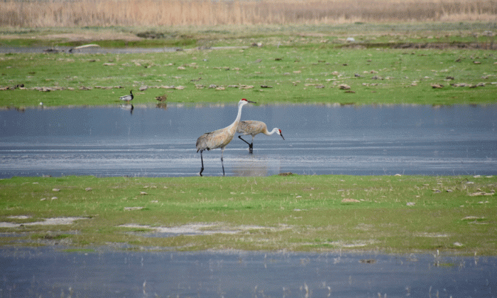
The rain started falling as we were pulling into our campsite on Wednesday and didn’t stop for 24 hours. It seriously rained all of Thursday. We stayed at the campsite and only ventured our for occasional soggy walks. Wendy did some sewing and made muffins and Doug worked with his photos on the computer. After studying the weather forecasts, we decided to go even farther south. So on Friday, we packed up and headed to St. George. We learned that the Thursday storm dropped the most rain at the Salt Lake Airport for that day (and for any day in March) for 32 years.
We’re now in St. George and plan to be in this area for the next week or so. We’ll be posting again soon.


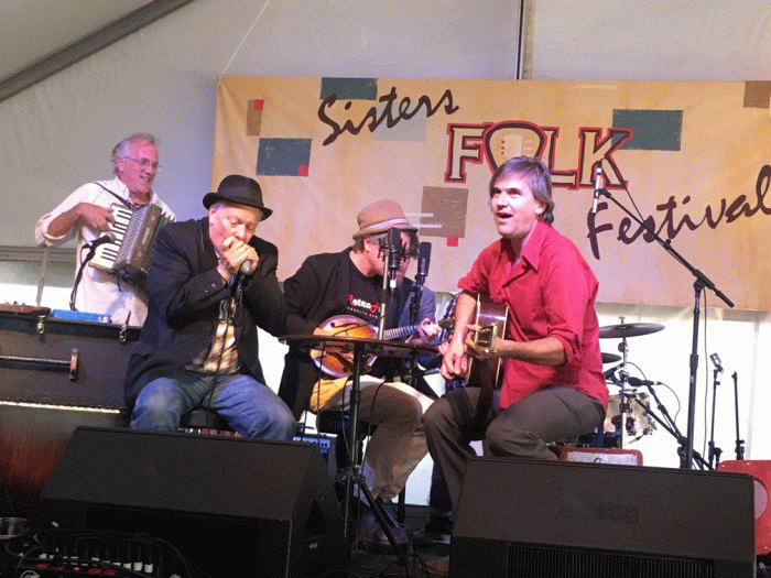

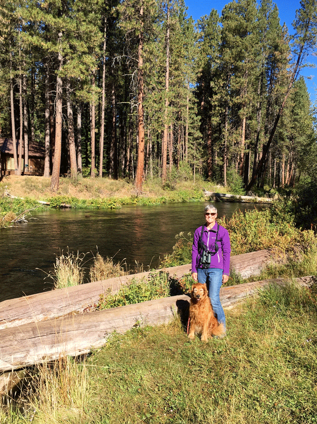


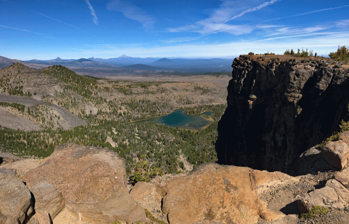
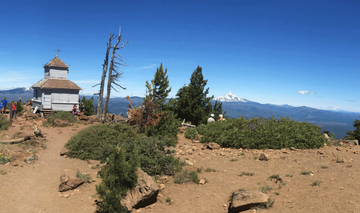
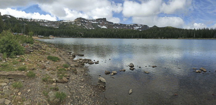
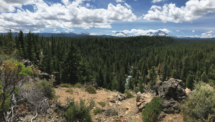
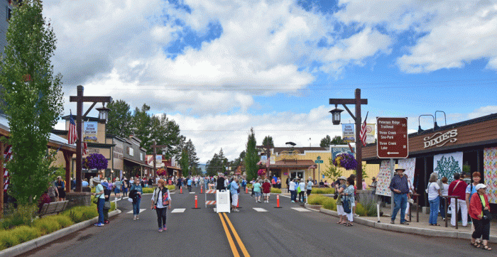
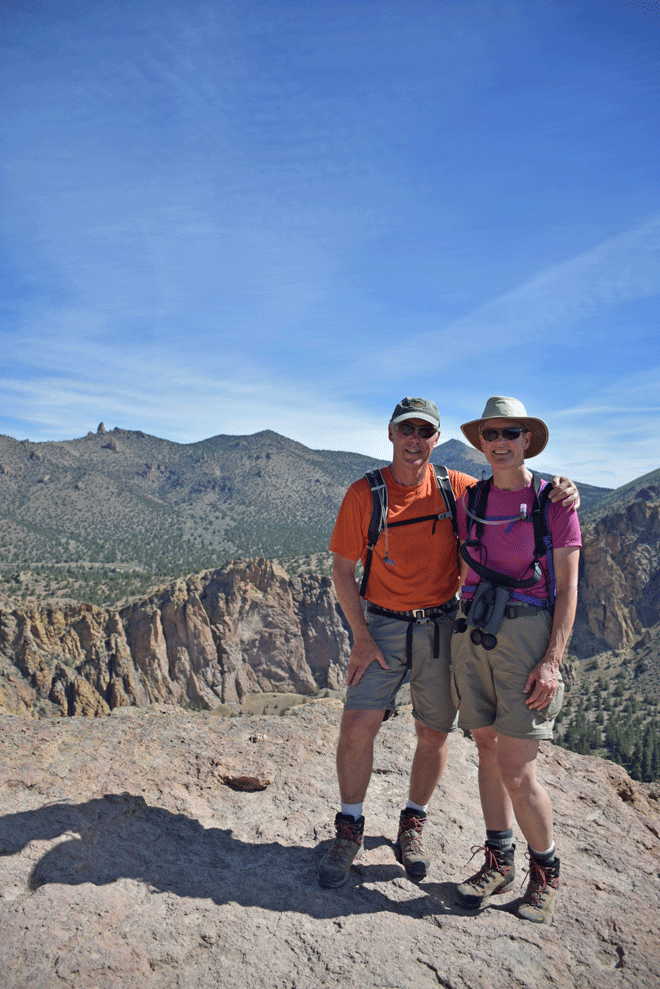
 We spent a wonderful four days at the Cold Springs RV Resort in Camp Sherman, Oregon alongside the Metolius River. We heard about this place on a previous wine tour in the Willamette Valley and checked it out last season. The Metolius River starts from a spring below Black Butte that is fed from snowmelt from the Three Sisters Wilderness Area. The water is clear and cold (41 degrees Fahrenheit).