New Mexico: Carlsbad and Las Cruces

New Mexico: Carlsbad and Las Cruces

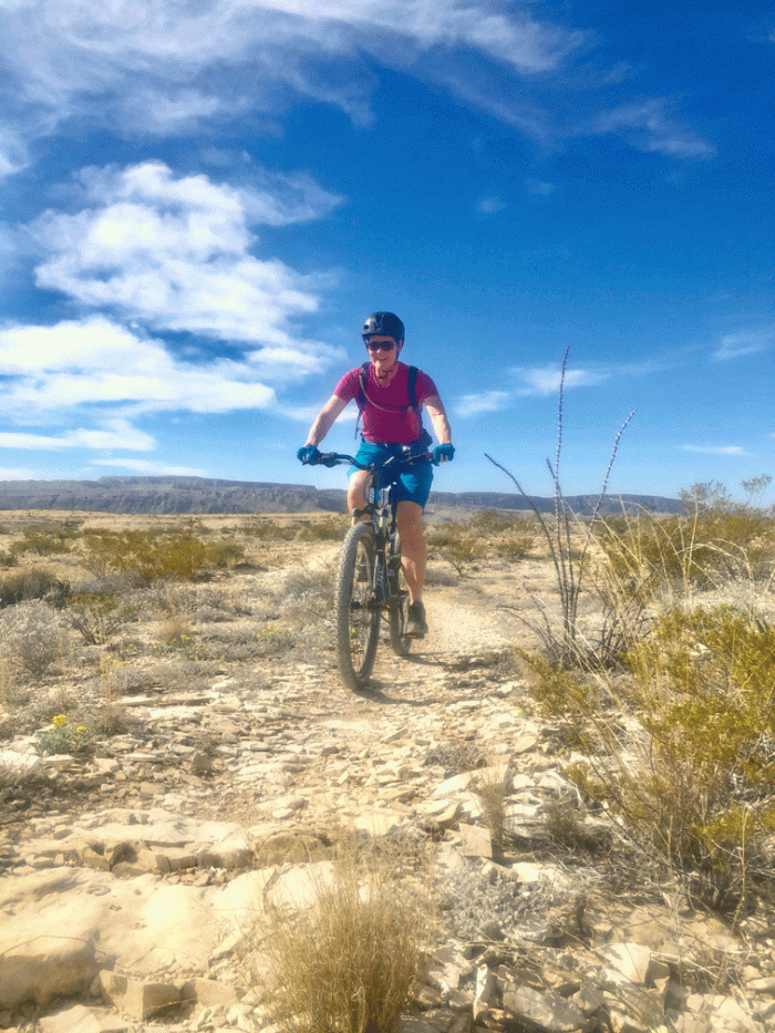
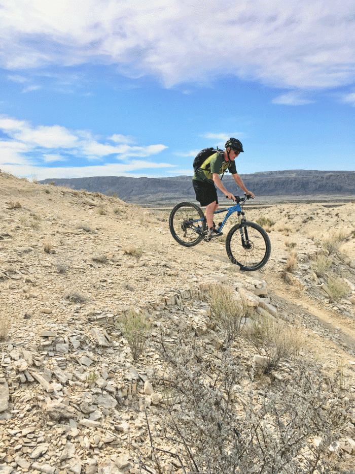
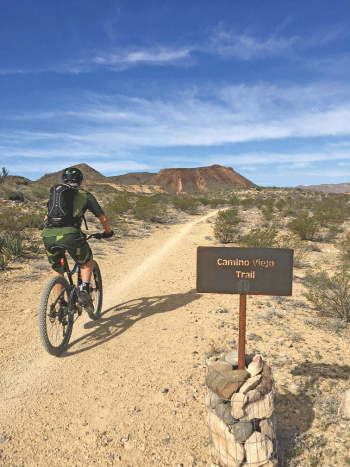
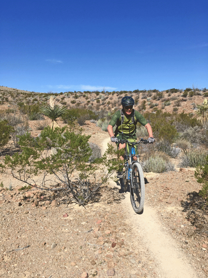
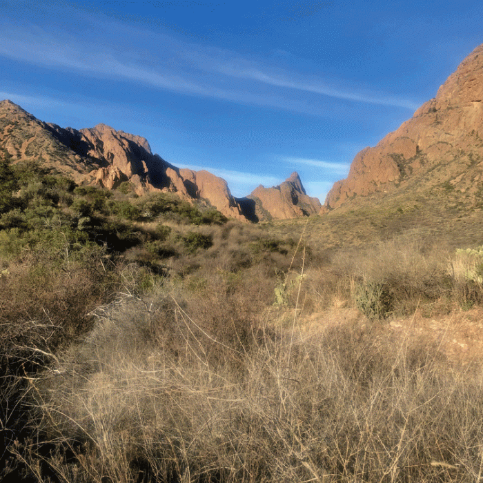
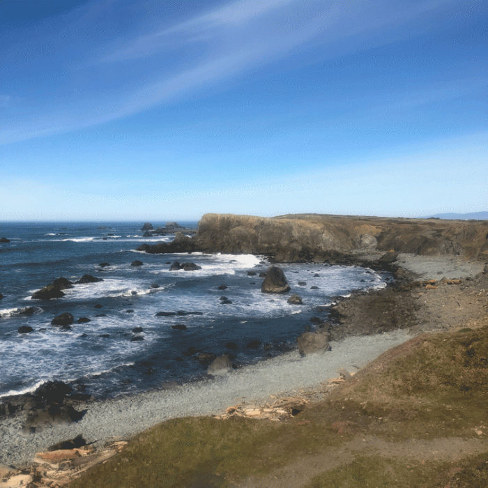
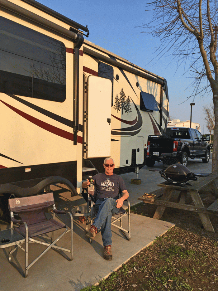
There are a few choices of routes to take from Lajitas, TX to Carlsbad, NM. We thought this time we would avoid the mountains. The route we chose through Ft. Stockton and Pecos looked fine from the map; nice straight roads without much elevation changes. What our less the detailed map didn’t show, was that we would be travelling through the Permian Basin. The Permian Basin is a hotspot for oil and natural gas extraction. We ended up travelling through a hundred miles of drill rigs, tank farms, pump stations and refineries, with heavy industrial traffic on a undivided highway. It probably would have been better to drive the longer route to avoid it. Anyway, we got to Carlsbad, NM and set-up at the Carlsbad KOA, a very nice park.

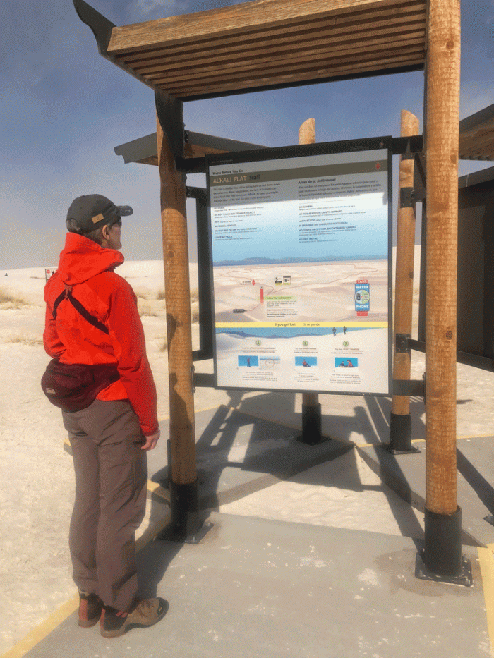
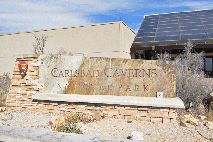
We wanted to see the Carlsbad Caverns National Park, which was about an hour south of our RV park.

Caverns-sign

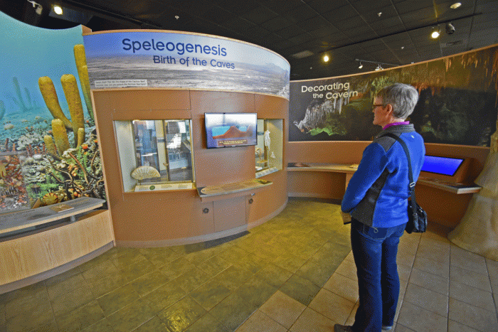
We spent a few minutes in the visitor centre, refreshing our memories of cave formations.

Visitor-centre

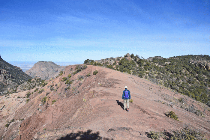
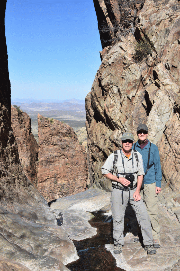
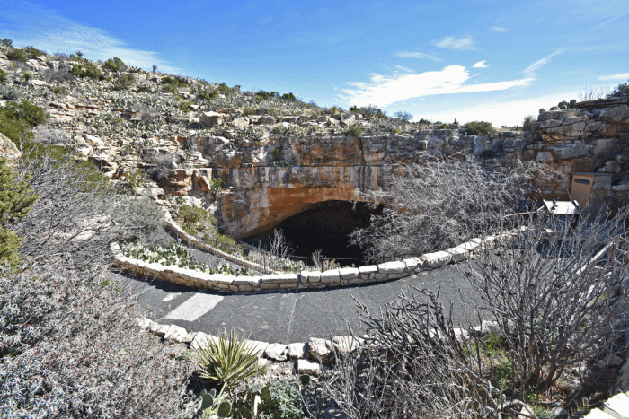
Then we walked down a path to the natural entrance. The path was paved, with handrails all the way along and had a fairly easy grade.

Entrance

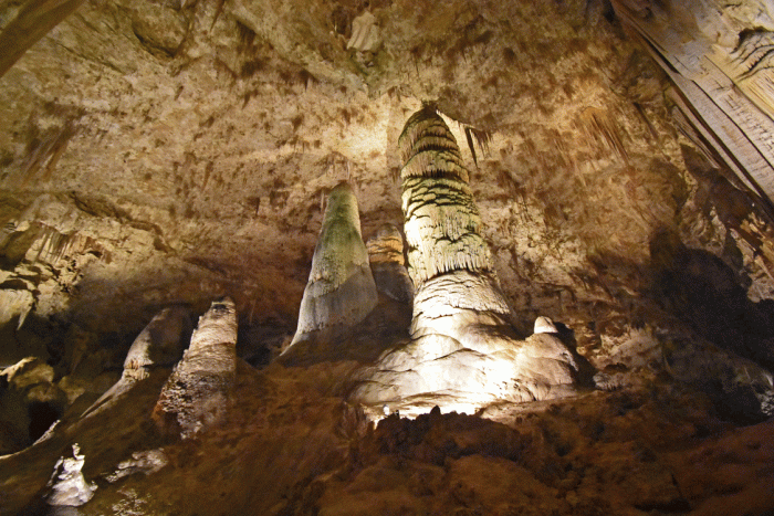
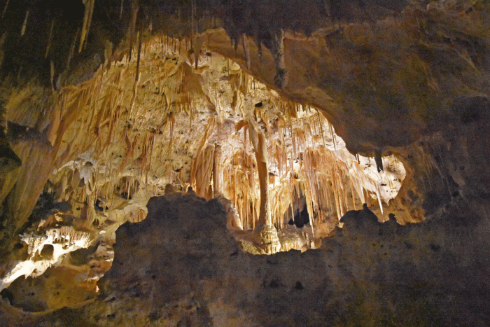
Our eyes adjusted to the limited lighting. We didn’t talk much and then only in a whisper, because voices carried and would disturb others. Most other people also stayed quiet, so it was quite a calm atmosphere. We walked down about 1 and a quarter miles until we came to the “Big Room.” Here’s a view of one of the formations.

Cavern1

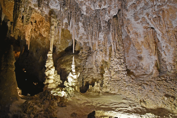
These are soda straws growing from the cavern roof.

Cavern2

Everywhere you looked, there would be another fantastic structure. We could have chosen fifteen photos and it wouldn’t have been enough to show you the variety, but you will have to be satisfied with these three. It was definitely worth visiting.

Cavern3

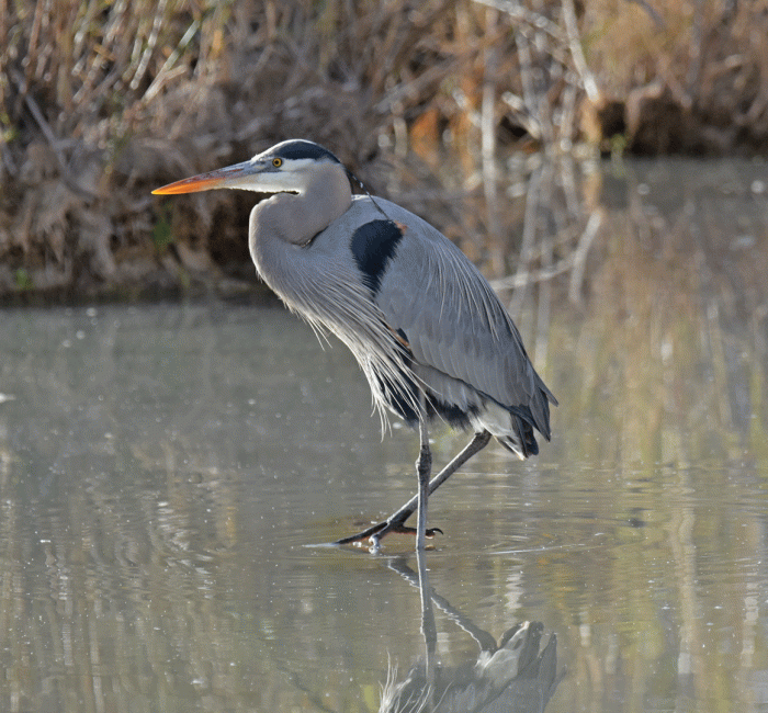
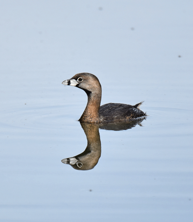
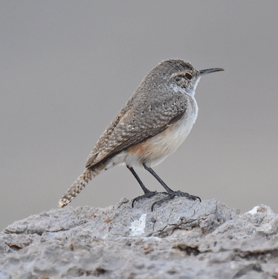
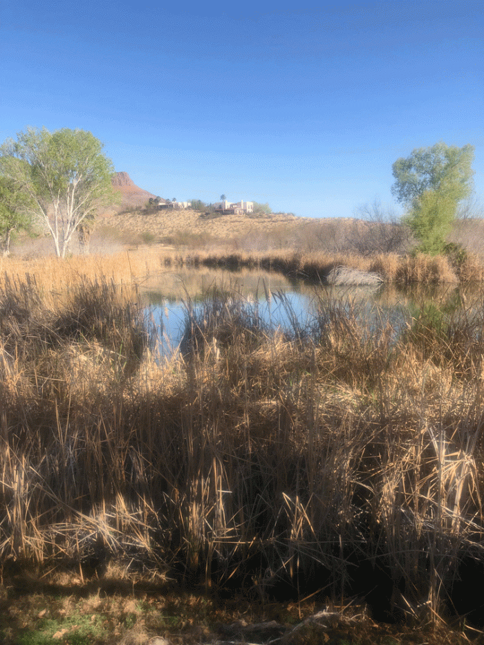
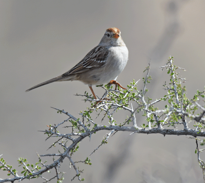
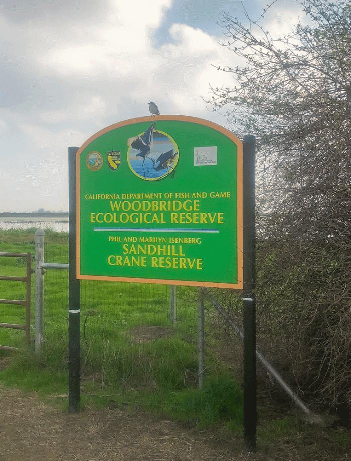
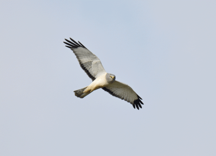
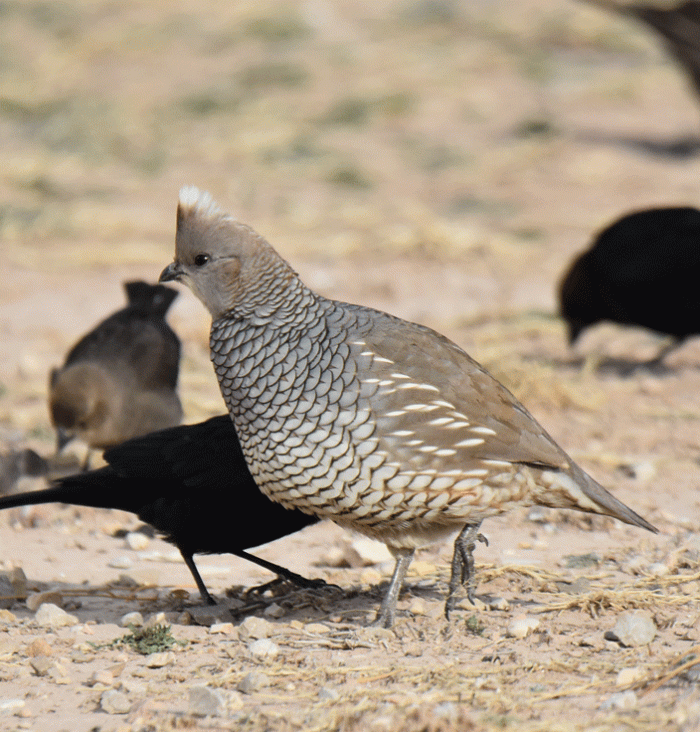
We also had a day to go birding at a few different areas. We started in our campground, where there was an almost tame covey of Scaled quail, a bird we had been hoping to see in Texas. We didn’t have to work hard to see these.

SCQU

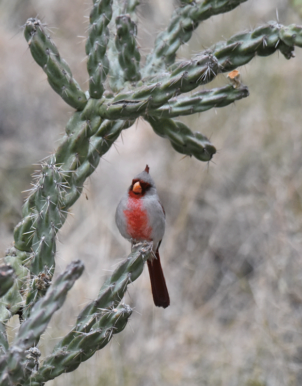
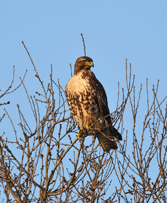
There was a field along the edge of the park, where Red-tailed hawks hunted as well as  this Sharp-shinned hawk. We watched the red-tails chase the smaller hawk out of the field. He rested in a tree on the edge of the RV park, which allowed us to have a good view.

SSHA

Next stop was Las Cruces, NM. We had stayed at the same KOA the last time we were here a few weeks before. This time, we arrived just as the wind was picking up. The low pressure system that blew through brought high winds with gust to 100 km/hr, but no snow like the folks in Arizona experienced. We stayed in our trailer, sheltered from the storm, and were happy we weren’t on the road.

It was still pretty breezy in the morning, so we took a drive to Hatch to buy Hatch chiles from a local company. We went to a wild bird specialty store to buy birdseed for our campsite in Mesa the next week, and arrived just as a seminar on nests and nestlings was about to start. We enjoyed the presentation and learned a lot.

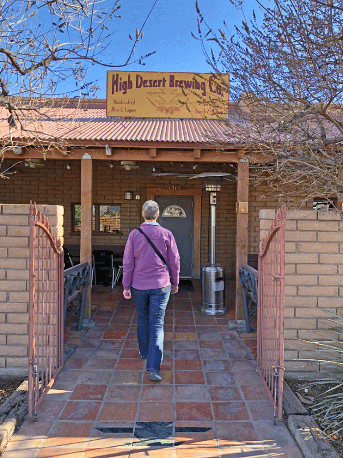
By then it was time for a beer, so we visited the older brew-pub in Las Cruces, High Desert Brewing.

High-desert-brewing

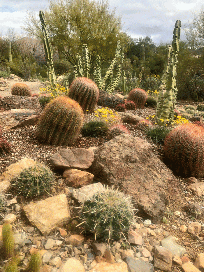
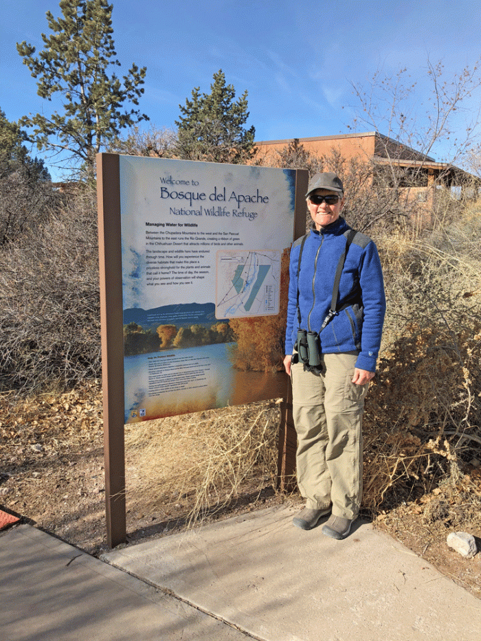
So the next day was dedicated to birding. Las Cruces is about two hours from the best birding spot in New Mexico: Bosque del Apache National Wildlife Refuge. Our good friend, Kath, who recently passed away, recommended that we go, so we got up early and made a day of it. We dedicated our day of birding to her memory. Actually, everyday we bird we think of Kath. She inspired us to learn and report more. The visitor centre had bird feeders outside its window and a cactus garden with a nature trail just beside it, so before we got into our truck to drive the self-guided loop roads, we had seen a dozen species of birds.

Bosque_sign

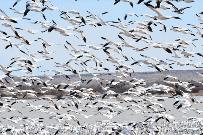
Just as we were getting ready to hop in the truck, more than a thousand snow geese circled over. They were coming their overnight resting spot in the fields that were a few minutes flight away. They landed on the pond right at the start of the tour. Doug took some good photos, although it is hard to capture the movement and noise of the flock.

SNGO1

They took some time to settle; they’d be down on the water for a few minutes, then up and circling again and back to the water. Later in the day they were mostly just swimming in a large group, and not moving very far and it was not as dramatic.

SNGO2

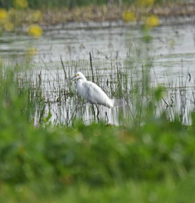
While all this commotion was going on, a lone Cattle egret sat on the shore, looking very lost. And we guess he was a little lost, since he wasn’t expected to be there for at least a month. It’s always nice to have a good photo to submit to eBird when the RARE bird alert shows up and you need proof that it was there.

CAEG

In among all the Snow Geese, were a number of Ross’s geese, a goose we have never seen before. It’s difficult, however, to differentiate the geese when they are in a huge flock. This Ross’s goose was kind enough to separate itself and wander beside the ditch. It’s bill is different from a Snow goose and doesn’t have a “grin patch.”

ROGO

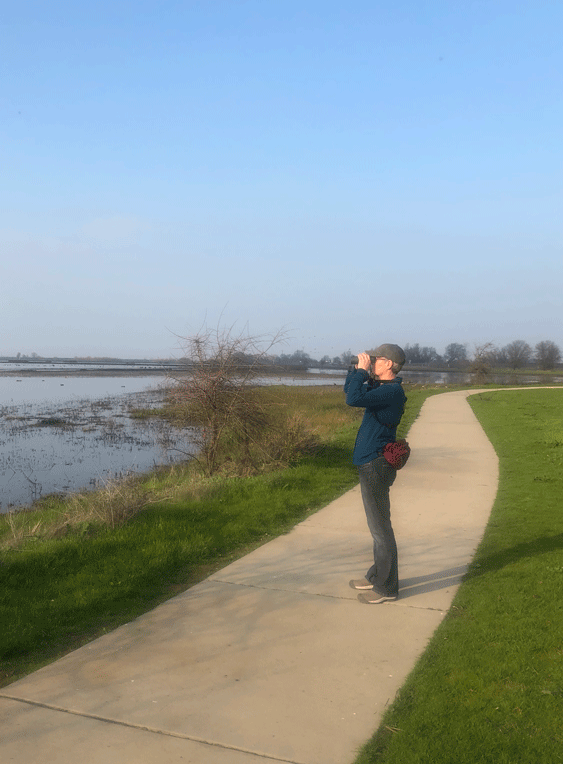
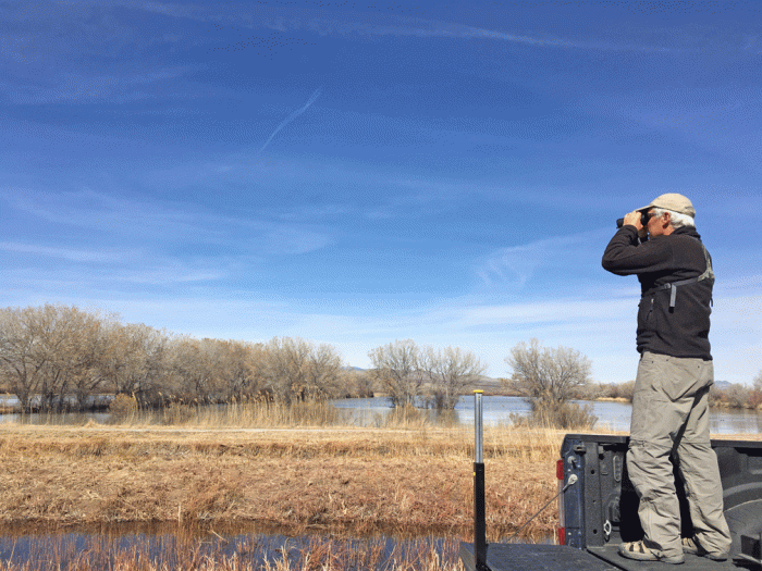
We drove the loop roads and stopped at random spots. There were viewing platforms throughout the route, but Doug found another solution to get high enough to see by standing in the bed of the truck. We also used the scope a lot to see birds that were in the distance.

Doug_tailgate

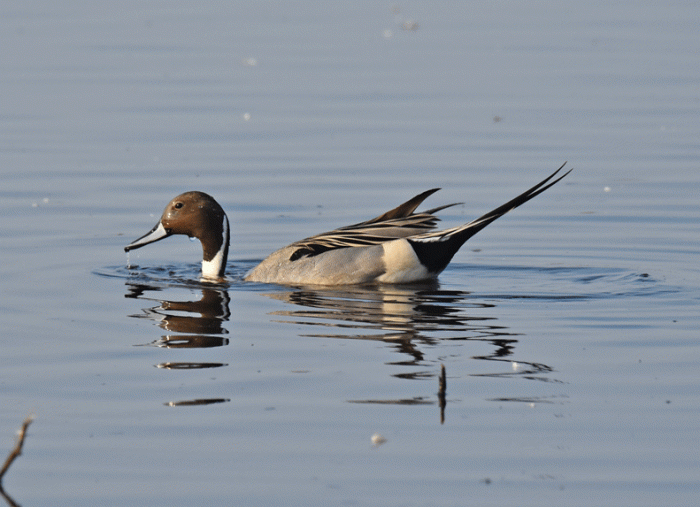
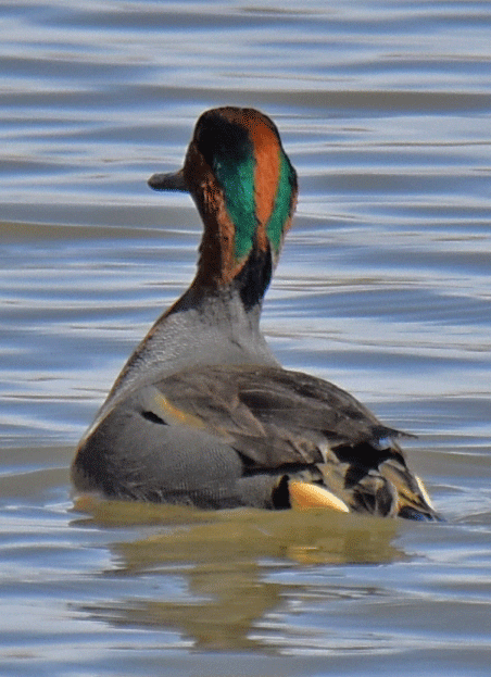
This Green-winged teal’s head was beautiful, but the thing that stood our from a distance was his buff behind, especially when he was dabbling.

GWTE

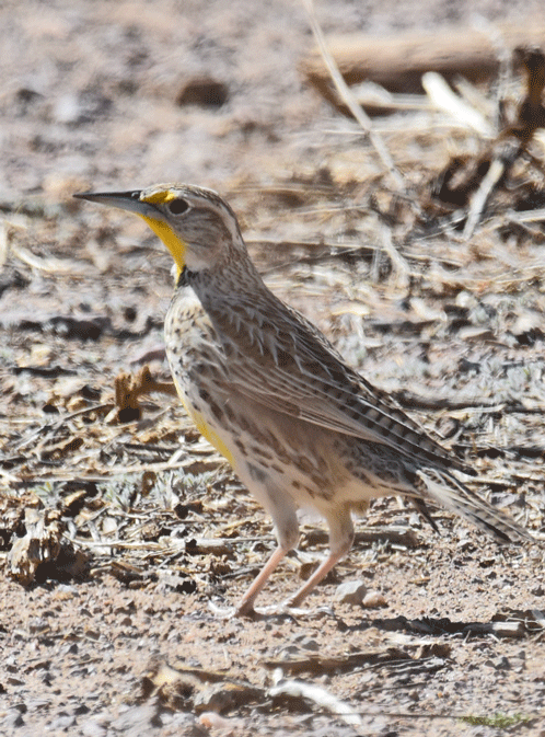
There were also birds in the fields. We saw over twenty meadowlarks. We couldn’t say for sure if they were Western or Eastern, since they are both here at this time and look very similar.

EAME

We also got a good view of a Red-tailed hawk.

RTHA

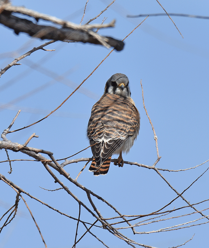
And an American kestrel.

AMKE

This raven was close to the road and very cooperative, so Doug got a few good pictures. It was good we had photos, because we were able to confirm that it was a Chihuahuan raven, based on the length of its bill and how far his nasal feathers go down his bill.

CHRA

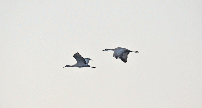
We saw a lot of birds! There were also a thousand or so Sandhill cranes. Mostly they were in a field of corn that had been grown especially for them, but a few groups of them took to the air.

SACR_flight

We spent about five hours at the refuge, so by the time we got back to Las Cruces, it was a nine hour day. But it was worth it.

Big Bend National Park: Part 2

Big Bend National Park: Part 2

We chose to stay in Lajitas because the park had good ratings and it was close to Big Bend National Park which we knew had good birding. When we did some research about things to do in the area we saw that there were some mountain biking trails. We were not expecting to find a mountain biking Mecca, which is what it turned out to be. Almost everyone in the RV park had mountain bikes, and groups were riding from the park. We tested our legs and lungs out on some nearby dirt roads for the first few rides and then headed out to the single track. Here’s Wendy on a pleasant section of Loop 3 at the Lajitas Airport trails.

Wendy_loop3

Here’s Doug heading down a steeper section of the same trail. We enjoy desert riding because the terrain is so varied, no roots to worry about and usually the trails avoid the cactus thorns.

Doug_bike

Two other days we headed into the Big Bend Ranch State Park. We could ride to the East trailhead from our RV. The trails are a series of old roads with single track sections. Here’s Doug heading off on one of our favourite sections.

Doug-Camino-Viejo

Doug is riding here on the “Rock Quarry” trail. We were given good advice to ride it on the way back. We rode over 20 kilometres on both days.

Doug_riding

We went to Big Bend National Park for another day of birding; this time to the Rio Grande Village nature path. They have built a boardwalk out through the marsh. At the pond, we caught a glimpse of a Black-crowned night heron, but this Great blue heron was much more photogenic.

GBHE

Doug was just in the right place at the right time to catch this Pied-billed grebe.

PBGR

This section of the park is very close to the Mexican border. There’s a town a few miles away that has an official border crossing where you can wade across the Rio Grande or hire a rowboat to take you. But it’s not legal to cross at this trail. But someone must sneak across regularly, because there are displays of trinkets that are offered for sale all the way along the trail. Each bright beauty has a price tag and there is a can available to take your payment.

Trinkets

Here’s a view of the Rio Grande and into Mexico from the lookout.

RioGrandeScenic

Just below the lookout, we saw this Rock wren.

ROWR2

We took a walk around the campground at Rio Grande Village. (Actually there is no village, only a campground.) We saw a couple of Greater roadrunners cavorting alongside of the road. This one had raised its crest which allowed us to see the orange bare patch of skin behind its eye.

GRRO

Another day, we went back to the Chisos Basin in BBNP and hiked the Lost Mine trail. Here’s a view from partway up the trail. Very interesting and rugged terrain.

Lost-Mine-scenic

Here’s Wendy at the ridge. Over her left shoulder is the view that we saw from the Window trail.

Wendy_Lost-Mine

We walked along the ridge to the high point. Here’s a view looking back towards where the previous picture was taken. As we walked farther along the ridge, the wind gusted and we almost lost our footing.

Lost-Mine-hike

Here are a couple of photos of some typical flowers that we saw throughout our eleven day stay in the Big Bend area. The yuccas were blooming. (There are many varieties of yucca, like there are many sparrows. We’re learning the different sparrows, but haven’t tackled understanding the different yuccas.)

Yucca

These beautiful blue flowers are known as Texas Blue Bonnets, and they are a kind of lupine. They grow mostly on disturbed soil, along the roadside, but we happened to find this patch a little bit from the road.

Bluebonnets

So when we’re in a spot for more than a few days, Wendy sets up her “mobile quilt palace,” as Doug calls it. Here she is quilting a placemat.

Mobile_quilt_palace

Here’s the finished placemat, in keeping with our “travelswithafox” theme. Wendy did the whole project in the trailer: cutting, piecing, quilting, and binding.

Next post will document our trip from Texas to Arizona, through New Mexico.

Big Bend National Park and area

Big Bend National Park and area

From Las Cruces, New Mexico, we drove to Lajitas, Texas. Because we didn’t have a full map book for Texas, we didn’t fully appreciate what the road from Presidio to Lajitas might entail. By the time we got to the sign that warned of 15% grades ahead, we were committed. Luckily the hills were not very long and the longest one was downhill, and we have good engine braking. Doug was unfazed; Wendy was not as calm, but she kept her eyes open the whole way. We decided that we would chose another route when we left.

The Maverick Ranch RV Resort was quite pleasant. There was lots of space between units and good views.

Lajitas-campground

We explored the Lajitas area and did some birding at the boat launch area. Here’s a photo of Wendy on the banks of the Rio Grande. The opposite shore is Mexico. Lajitas historically had a river crossing here, but not nowadays. The river is quite low right now. We learned that all the water that is in this part of the river comes from Mexico; the American Rio Grande water has been over allocated.

Lajitas-golf-course

We also found some good birding in the marsh right beside our RV park, but the best local spot was at the golf course. The golf course was built on an old slough, and the ponds have been preserved. The most surprising bird we saw was a Common Loon. We heard it’s distinctive call and recognized it’s shape. It looked different in non-breeding plumage, but there was no question it was a loon. We went back a few days later to get a photo to confirm its identity, which was good, since a loon had not ever been recorded for that area. Unfortunately the photo is only good enough for identification purposes, not for the blog. Doug did however, get some good shots of other birds. Here’s a Ring-necked duck.

RNDU

And an interesting view of a Song sparrow.

SOSP

We just loved watching the Vermilion flycatchers, and they always seemed to be perched as if to say, “Look at me!”

VEFL

Just as we thought we had seen all there was to see, this Ash-throated flycatcher showed up.

ATFL

We went birding in Big Bend National Park with a guide. It was a cool day and it started off a bit slowly, but our guide was a former park ranger, so we learned a lot about the geology of the park as well. The photo below was taken at Santa Elena Canyon of the Rio Grande. One side of the cliff is in the States, the other in Mexico. We saw some phoebes (Black and Say’s) and few sparrows here, not a lot of birds, but we were earlier than anybody else and we had the whole place to ourselves.

Birding_guide

We visited four sites on the west side of Big Bend National Park. Most of the time, Doug travelled without his camera, so we have no photo of the Crissal thrasher. (Although it probably wouldn’t have made a difference, because the thrasher was mostly in the back of the mesquite.) We learned the difference between blue-gray and black-tailed gnatcatchers, and had a good look at a Great horned owl.

Doug carried his camera for one of our stops (Burro Mesa Pour-off) and he got a good photo of this Chipping sparrow. (A pretty common bird, but we agree with our guide when he says that every bird is special.)

CHSP

Here’s a bird that was on our “list” before we arrived: Pyrrhuloxia, otherwise known as the “P- bird,” because it’s name is so hard to pronounce. We saw our first ones back in Lajitas, but none of them looked as good as this fellow posing on a cholla. Pytthuloxias are related to cardinals but are much grayer, with longer pointed crests.

P-bird

A few days later, we drove back into the park. This time, we drove to the Chisos Basin. The Chisos Mountains were formed from violent volcanic activity and are unlike any mountain range we are familiar with. The Window hike trail started downhill, and continued gradually dropping. Our goal was the gap you can see in the photo below.

Window_hike1

The trail flattened out a bit in the middle, although it was always downhill.

Doug_Window-hike

Another view of “The Window.”

Window-hike-scenic

Along the way we saw Northern Cardinals,

NOCA2

and Mexican jays.

MEJA

Usually we only hear the Canyon wren’s song, but this one gave us a display on a rock just below the trail.

CANW

Here’s a photo taken by a friendly photographer who was there at the same time as us in front of the “Window.” The window is a natural gap in the rock that drains the Chisos Basin. You can see the small stream at our feet just above the pour off.

DW_Window2

So this is enough for one blog post. We’ll post shortly about the rest of our stay in Lajitas. More hiking, and birding as well as mountain biking.


On the way 2: Arizona and New Mexico

On the way 2: Arizona and New Mexico

We worked our way south through California, stopping in Barstow, and into Arizona to Tonopah which allowed us to skirt around the Phoenix area. We chose to spend a couple of nights at Picacho Peak State Park, which is 45 minutes outside of Tucson, AZ. As we were setting up, it started to rain and it sprinkled most of the afternoon. After the rain, desert smelled wonderful and the light was amazing so we ventured out for a walk. Our site was well situated at the edge of the curve.

Picacho-St-park

The light was also good in the morning. We were surrounded by Saguaro cacti.

Saguaro

It rained each day we were there, but never enough to bother us. Here’s a view from our campsite on our last morning. Sunshine and rain clouds: not a typical desert scene.

Saguaro2

We didn’t have to look far for birds. This cactus wren posed on the closest Saguaro: singing away.

CACW

There were also lots of Curve-billed thrashers.

CBTH

And a few Gila woodpeckers.

GIWO

As well as some Black-throated sparrows.

BTSP

We chose to stay a couple of days in the Tucson area because Wendy learned of an art quilt exhibit that was showing at the Arizona-Sonora Desert Museum.

Poster

This was one of Wendy’s favourite pieces. It’s by Karin Lusnak from Albany, California. Her description: A photo of sun on the water in Tahiti, the color of indigo blue, a jazz rendition of All Blues by Miles Davis. L’Attitude Bleue.

Quilt1

Doug’s favourite was Force and Reflection by Doris Hulse of Florida.

Quilt2

The Arizona-Sonora Desert Museum was worth visiting. We spent over three hours there. Except for the art gallery, everything was outside. It was a zoo as well as a botanical garden. Here’s a photo from one of their cactus gardens.

Cacti

Our next stop was Las Cruces, New Mexico. We had a couple of nights there, and we will be returning in a few weeks. The forecast was for winds picking up by midday, so we chose to drive to White Sands National Monument instead of birding. After viewing the video at the Visitor Centre, we drove to the far end of the road to the trailhead of Alkali Flat. The sand dunes were formed from gypsum in the mountains that first dissolved, then crystallized on the flats, then was wind-blown into dunes.

Whitesands1

We headed out on the Alkali Flat trail, walking from sign post to sign post. But the trail was longer than we wanted and we could see the posts that were at the end of the circuit, so we headed off cross-country. It was a bit like walking in firm snow and a bit like navigating on an ice-field. Our tracks were probably covered in about half an hour.

WhitesandsWendy

We stopped at another site in the park that had a boardwalk out into the dunes.

WhitesandsPano

The next morning we headed for Texas. Within an hour from Las Cruces, we were in El Paso, Texas. We took this photo from the truck when we were a stones throw from the Rio Grande and the Mexican Border. If you look past the larger white buildings, you might make out the border wall. The colourful buildings on the hillside are in Ciudad Juarez, which has a population of over 1.3 million.

Juarez

Later that day, we arrived in Lajitas, Texas, our home for the next dozen days. You can look forward to seeing photos from Big Bend National Park, and our adventures mountain biking in the trails around Lajitas.

On our way to Texas

On our way to Texas

On January 24, it was -7 in Cranbrook and a clear morning. The snow from the day before had been cleared (or so we hoped), so we headed off on our next adventure. Our plan this time was to drive to Big Bend National Park in Texas to do some birding. We had planned to take our time getting south; allowing for possible weather delays.

All went well. Once we were past Spokane, the ground was snow free. We stayed the first night in Ritzville, WA, a choice we won’t make again. We were happy to have a 6 degree temperature, but not so thrilled with the mud that we encountered in the RV park.

The next day, we checked into an RV park in White River, WA (just over the Columbia from Hood River, OR.) Wendy was really glad that she wasn’t driving over the toll bridge because the lanes were 9 feet wide and our 5th wheel trailer is 8 foot 6″. Luckily when smaller cars see a big rig approaching, they move over. We had time to go for a hike in the afternoon. It was great to be warm enough to walk in short sleeves. There is a lot of basalt along the Columbia Gorge and you can see a good example in the bluff behind Doug in the photo below.

Doug_hike

We walked below Coyote Wall on the old highway, before we headed onto the trail. The light was perfect when we returned to the truck.

Coyote-Wall

The next day we drove to Grants Pass, OR where we planned to stop for a few days. Grants Pass was enveloped with fog, but Crescent City, CA was only a two hour drive away and the forecast was for sun, so we did a day trip. It was worth it for the views.

Crescent-Beach

We hiked up to a headland and enjoyed the sun on our faces. It was about 16 degrees and no wind. Paradise! We had visited Crescent City in March on a previous trip and been much cooler.

Doug_beach

You can fish the rivers in California in January, like we saw this group on the Smith River that goes through Jedediah Smith Redwoods State Park. We stopped to take a walk among the redwoods and came across a trail along the riverbank, with a good view of the river.

Fishing

We had time to visit a few brewpubs. This one in Ashland, OR had the cutest succulent “mini-planter.” Their beer was good too. Doug enjoyed the Oak Street Amber and Wendy had “Darth Vator.”

SSBrewing

Next stop, Lodi, in Central California. Sunny skies! Life is good! We were glad we had planned a couple of days here.

Doug_Lodi

It turns out that Lodi, California is in the Pacific Flyway, so there were lots of birding opportunities. We started at the Woodbridge Ecological Reserve. The Northern Mockingbird posed nicely.

Sign

Here’s a better view of the Northern Mockingbird, when he was on the ground.

NOMockingbird

We were at the Isenberg Sandhill Crane Reserve, so we had hoped to see some cranes. We had seen a couple of dozen in a field a long ways off, so we were thrilled to see these fly over. The light wasn’t great, but it was still pretty cool to see them.

We also caught a view of a Snowy Egret.

SNEgret

We were confused at first with this hawk, because it was spiralling upwards. We’ve usually seen the Northern Harrier flying low over fields with its white rump patch visible. This time we could see the underside of a male.

NOHarrier_male

Later that day we saw a juvenile Northern Harrier perched in a tall tree.

NOHarrier-Juvenile

Our second birding spot was at Cosumnes River Preserve. There were paved pathways close to the river and also out at the wetlands.

Wendy_bino

Here’s a White Crowned Sparrow.

WCSparrow

Doug thought the Marsh Wren was singing, “Please take my picture!”

MAWren

There were plenty of Golden-Crowned Sparrows, which were a new bird for us.

GCSparrow

Another new bird to us was the Greater White-fronted Goose, a bird you would not likely see in British Columbia. There were hundreds of them.

GWGoose

We enjoy watching Black-necked Stilts anytime we see them. This photo hides his distinctive red legs.

BNStilt

Doug got a photo of a Northern Pintail, just as he emerged from the water. He spent most of his time with his head under water.

NOPintail

From California, we’re heading east to Arizona. Look forward to photos of cacti and warmer weather!