This blog post includes photos from two local hikes and a walk. As usual, we’ve included some biking photos and a couple of sunrises. Part 2: hiking focuses on the North Coyote Buttes in Northern Arizona.
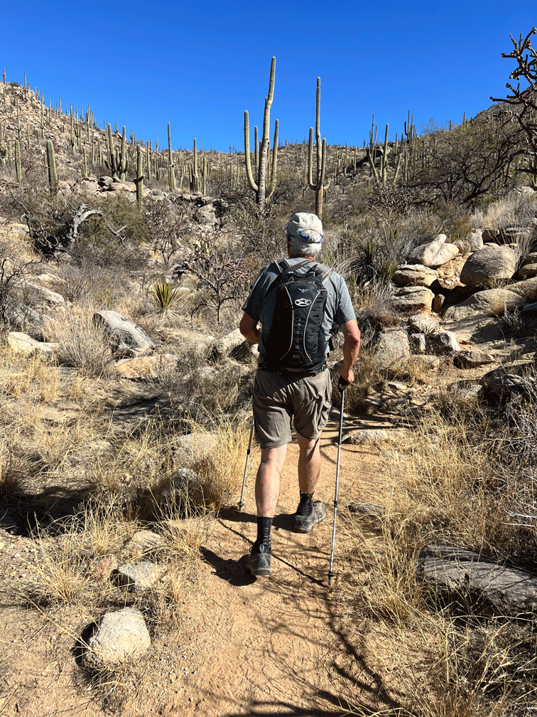
We returned to one of our favourite hikes in the Tortolita Mountains in early February, climbing up the ridge on the Alamo Springs trail.
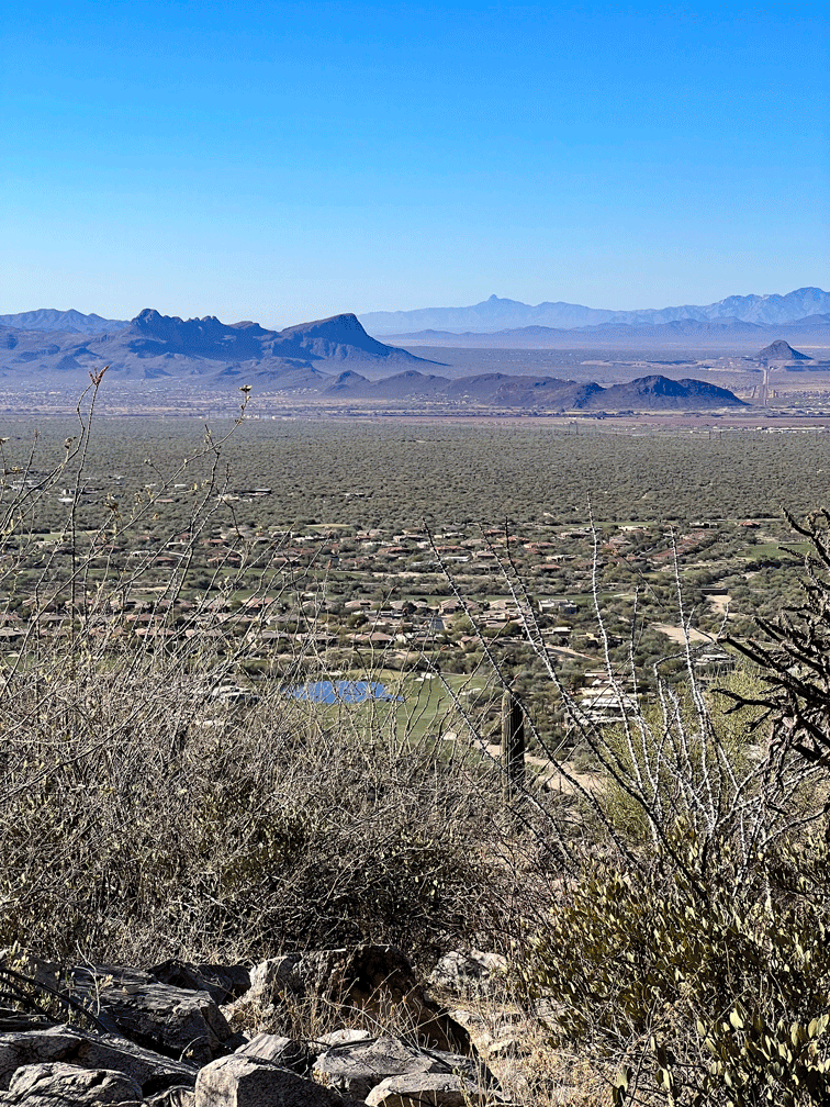
Here’s a southwest view from the first viewpoint, overlooking the Dove Mountain community. Further along are the Tucson Mountains with Panther Peak on the right side (the dark triangular mountain.) The prominent mountain in the far distance is Baboquivari Peak, over 120 kilometres (75 miles) away.
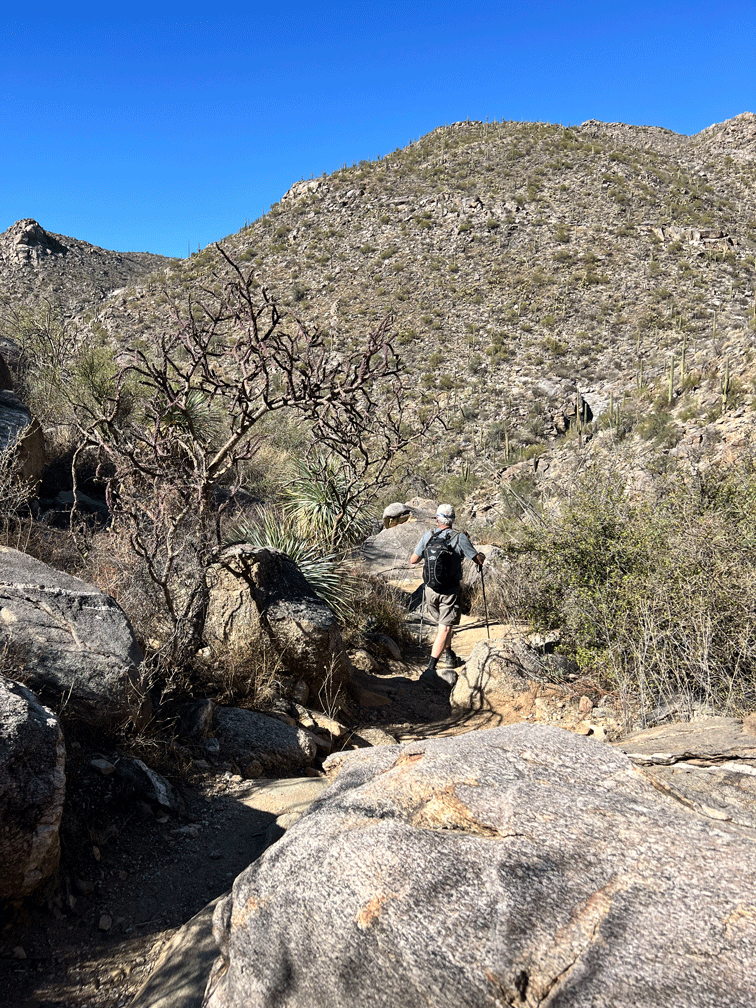
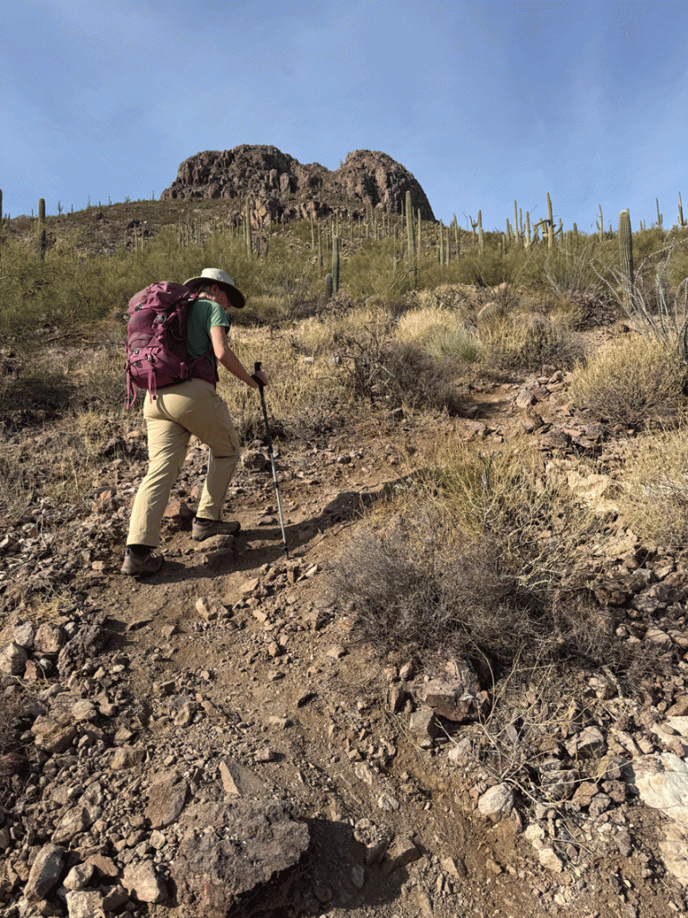
Here Doug is walking down the spur trail to connect with the Wild Burro trail.
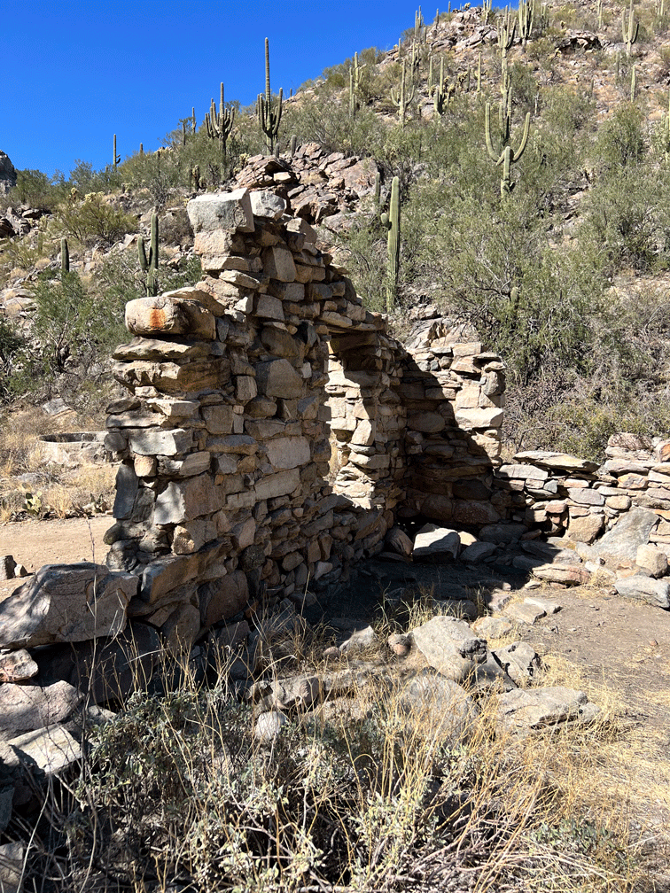
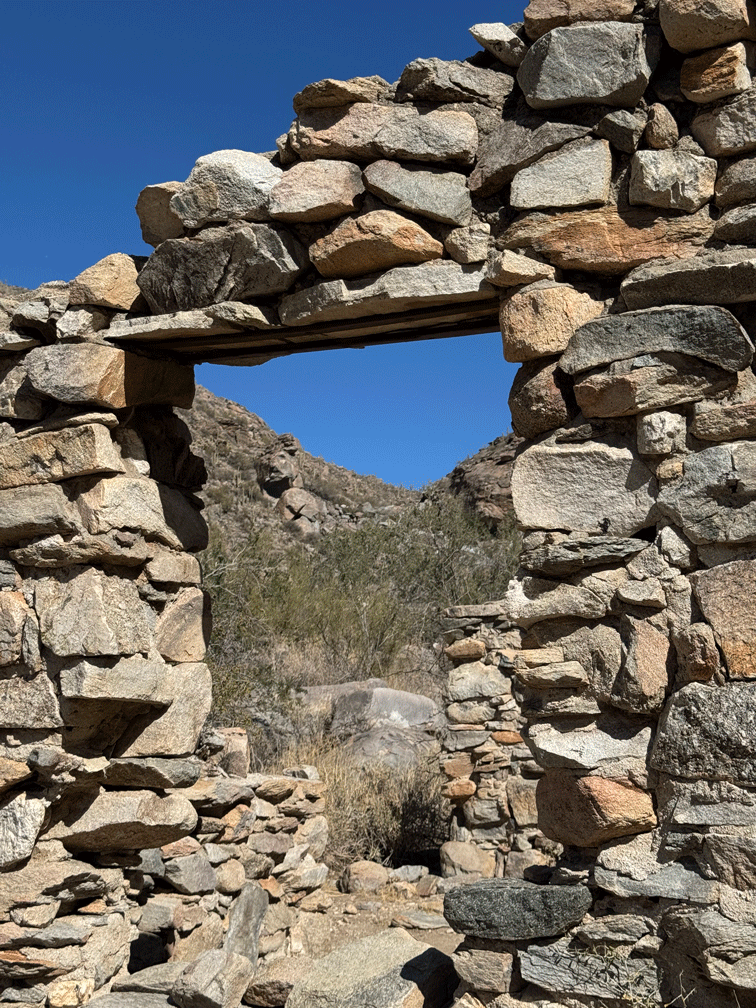
Right above the flat part of the Wild Burro wash is this old stone wall that was part of a building near an old spring. We had lunch here, then made our way back to the trailhead on the flats. The whole hike was just under nine kilometres and we completed it just over four hours.
A week and a half later, we decided to climb Mt. Safford, also known as Sombrero Peak. The whole mountain looks a bit like a big hat from a distance. The trail goes around the cliffs on the left side and comes around the back. We gained the summit by climbing up to the prominent notch (the “dent” in the sombrero) that is visible in the photo below.
Here Wendy is walking below the cliffs, facing southwest. Mt. Wasson is the tallest peak in the background.
Near the summit.

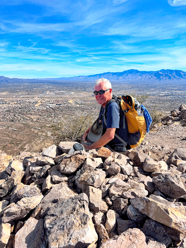
Here’s Doug on the summit. Mt. Lemmon is directly in line with his pack in the photo below. The Tortolita Mountains, the location on our previous hike, are at the far left in the photo.
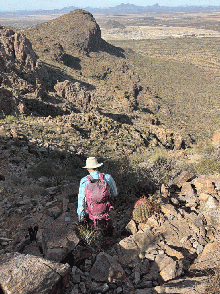
In this photo, Wendy is just about at the spot that we left our poles. The healthy-looking barrel cactus was our landmark. Notice also the blue rectangles that have been painted along the route to help with navigation. We had a good view of Panther Peak. Panther Peak is part of the same massif as Sombrero, and not that far away, but there is no easy way to get over to it. As we were descending, we saw a Peregrine Falcon soar along the cliffs and land on a ledge.
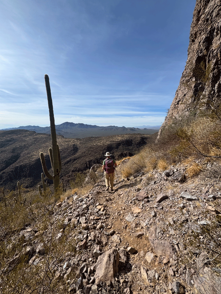
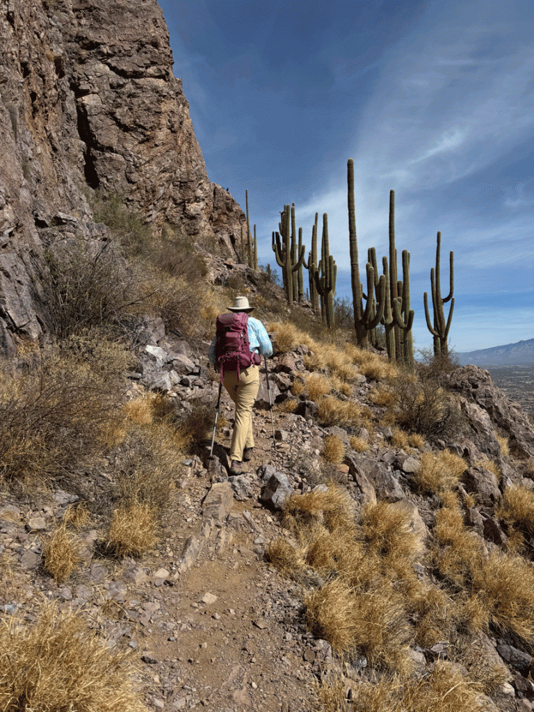
We worked our way down the trail and around beside the cliffs. We’re impressed with the large number of tall saguaros that grow near the cliffs.
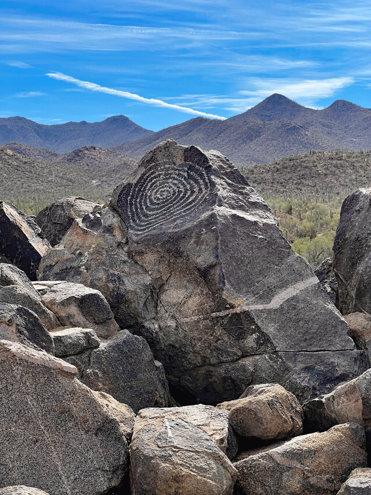
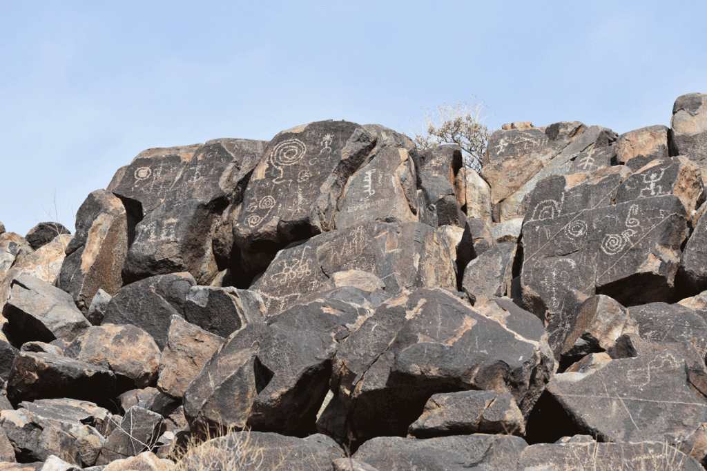
Another day, we were in Saguaro National Park (West) Signal Hill looking for birds. We were unsuccessful with our target, but we were close to Signal Hill. We hadn’t walked the short trail for over five years. It has been improved since that time, with the addition of many rock steps. The photo below is the typical view of the most prominent petroglyph that is featured in tourist literature. It’s quite close to the trail at the top of the hill and is easy to see.
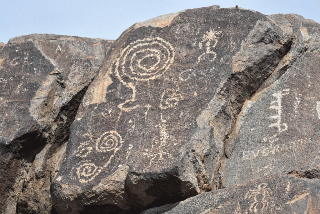
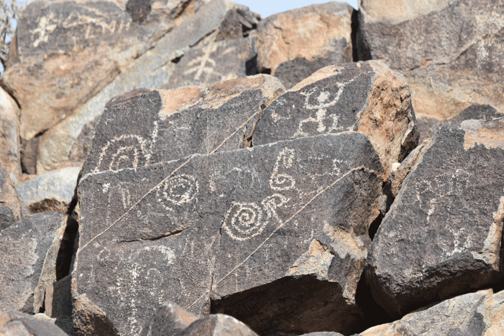
The following petroglyphs are on the south side of the hill, quite a ways from the trail. Since we had our binoculars with us, we could study them easily. Doug took these photos with his telephoto lens. Unfortunately, the photos also show damage to the site, likely before this area was part of the National Park.
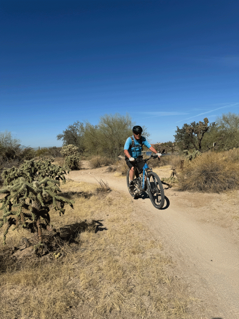
We rode at the Tortolita Preserve again this month. Even though it is a small area, there is interesting terrain. We’re trying to take photos of different parts of the trail. Here, Doug is riding in front of a lake that is part of the golf course just beyond the fence.
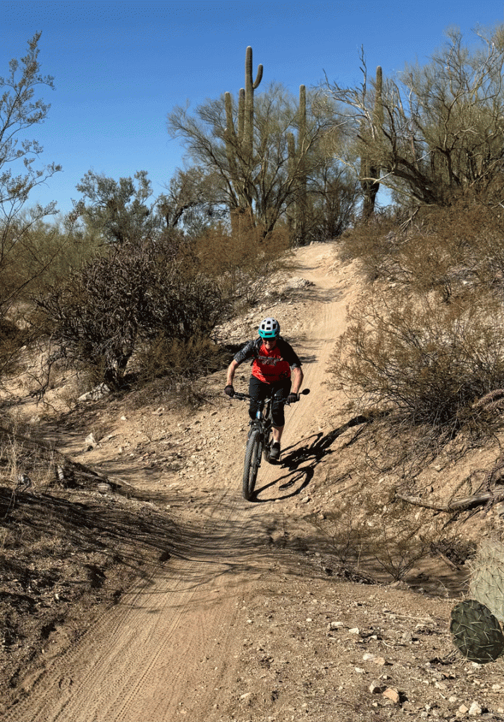
Here Wendy is riding down one of the smoother approaches to a narrow wash.
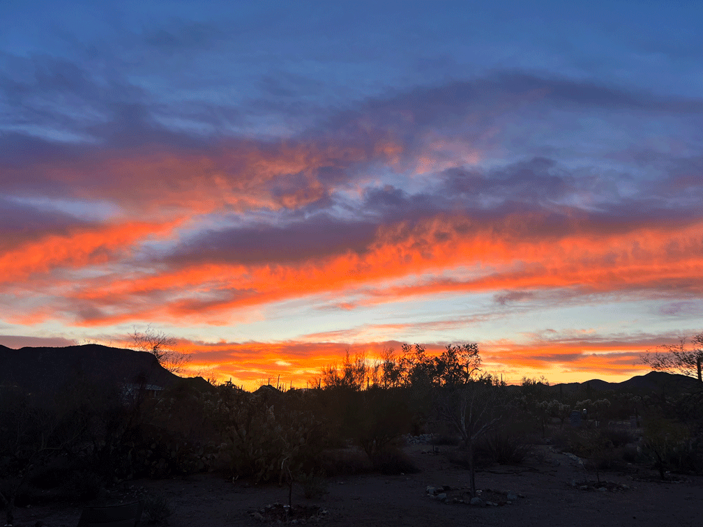
To end, we’ve included two sunrises this month. No sunsets made the cut. This one is from February 11.
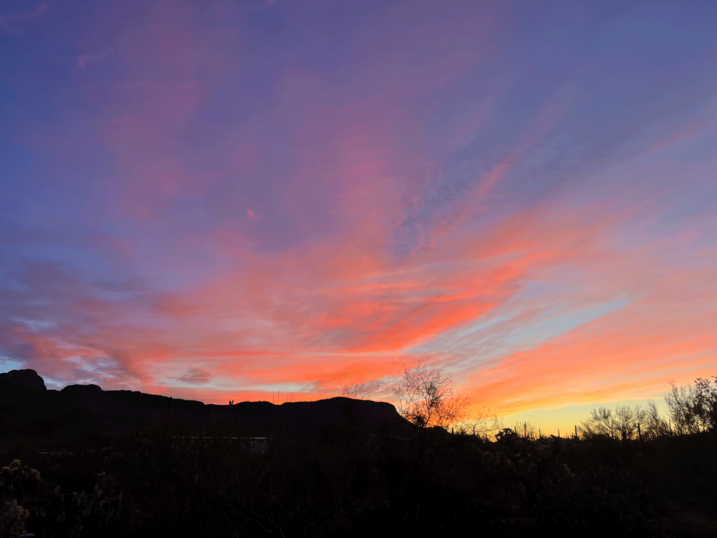
And this was sunrise on February 17.
There will be two more posts to record our February events. The next one will be about our trip to Northern Arizona and the third one will be about our birding adventures. Coming soon…

I love the petroglyphs. Thanks for sharing
LikeLike
Some very nice photos.
Doug Williamson 250-426-0417 (cell) wdwilliamson@gmail.com
LikeLike