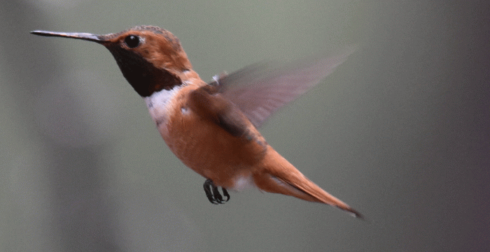
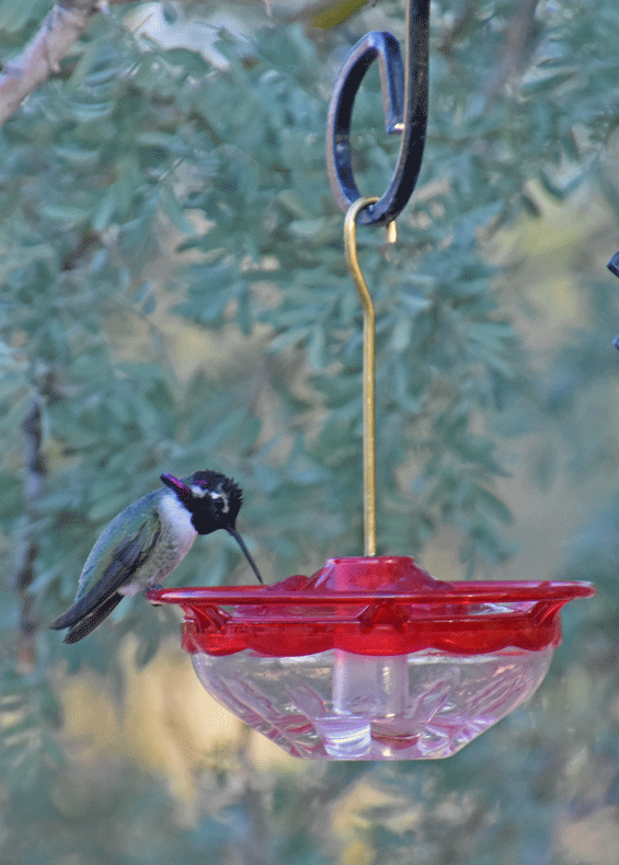
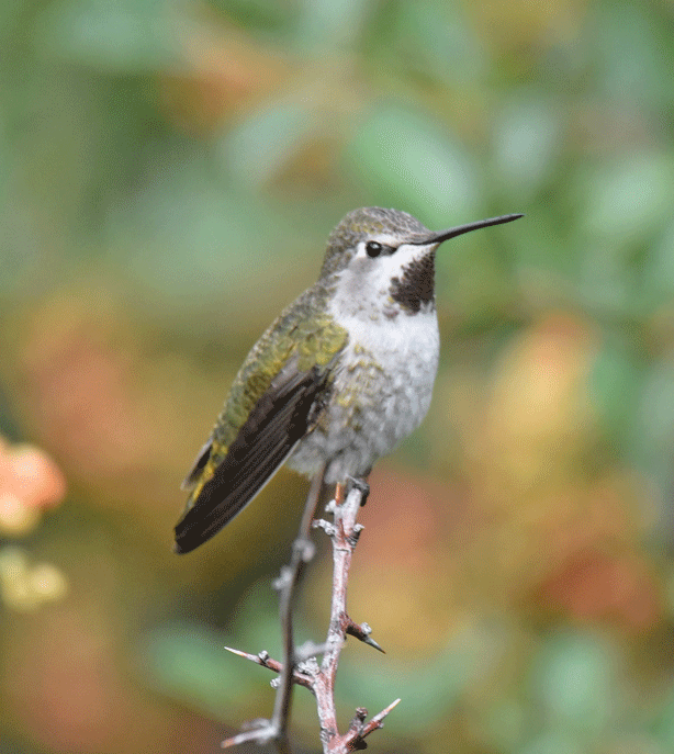
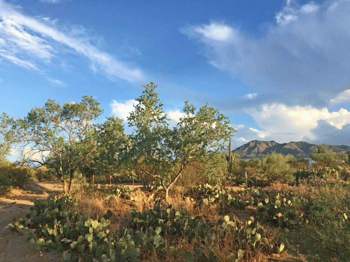
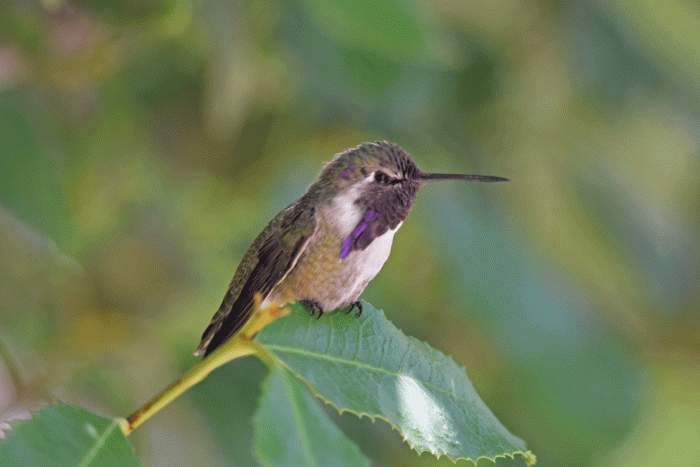
This whole blog is about the birds that come to our feeders at our place near Picture Rocks, Arizona. Our favourite hummingbird is this male Costa’s. He is very inquisitive and will come right up to Doug when he is filling the feeders. The male Costa’s has a long, flared gorget, that shimmers when it catches the light. Also notice the white “eyebrow.”
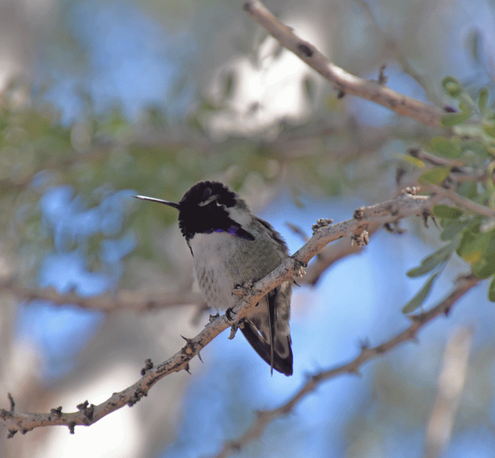
Here’s a view of him sitting on a nearby branch.
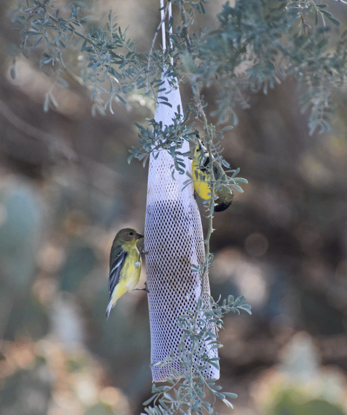
We also have a number of Lesser goldfinches.
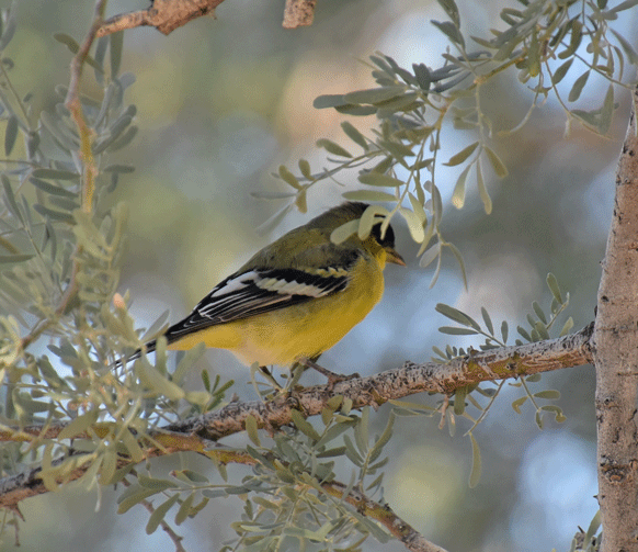
They love the nyger seed that we set out for them.
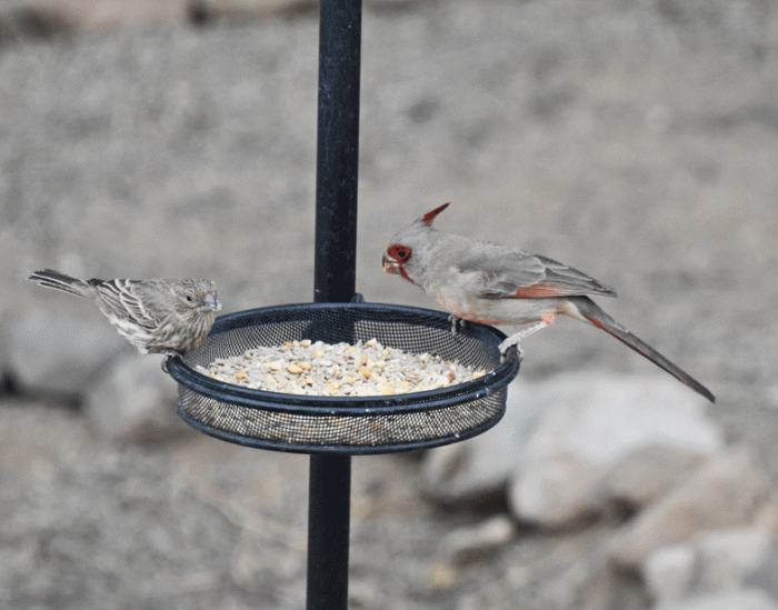
We also have a few House finches. House finches are found throughout the US and Canada, often in urban areas. In Arizona many of them live in the desert which could have been their original home before they became more widely distributed. We see a lot of them on our desert hikes.
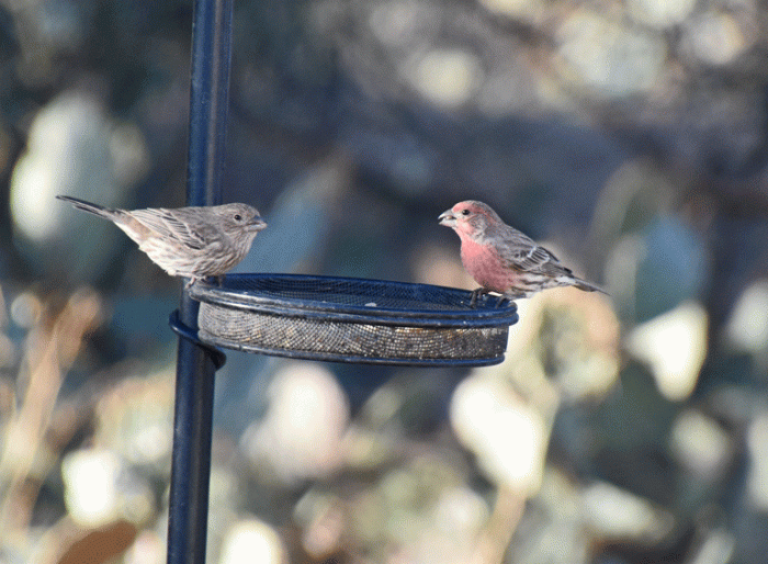
Here’s a female House finch (left) with a male Pyrrhuloxia. The Pyrrhuloxia is similar to a Northern cardinal with a grayer overall colour with rosy-red highlights. Around here, Pyrrhuloxia are found in desert scrub and Northern cardinals in riparian woods.
We have a couple of Gilded flickers that visit the feeders and suet. They are very similar to the Northern flicker that we have at home, but with a brighter cinnamon forehead and an all-brown crown and nape. They also are yellow underwing, unlike the Northern flickers (western) that are red-shafted.

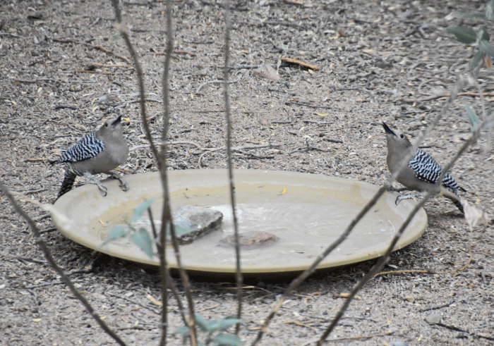
These Gila woodpeckers look a little bit like the Gilded Flicker but without the black chest patch. Male Gilas have red on the top of their head. The two females in the photo below are swallowing simultaneously.
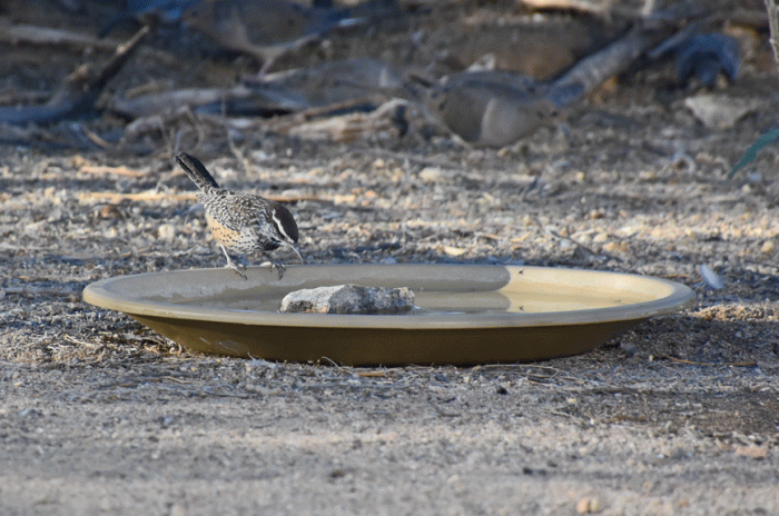
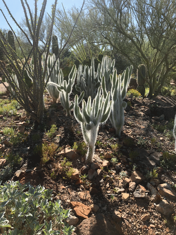
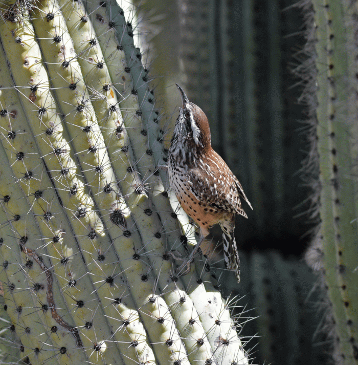
There are a number of Cactus wrens in the area. This one came for some water.
The yellow eye on the Curved-bill thrasher makes it seem that it is always angry. Their call sounds a bit like someone whistling for their dog.

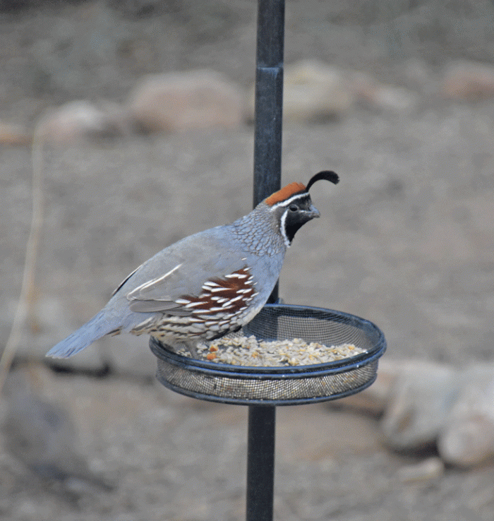
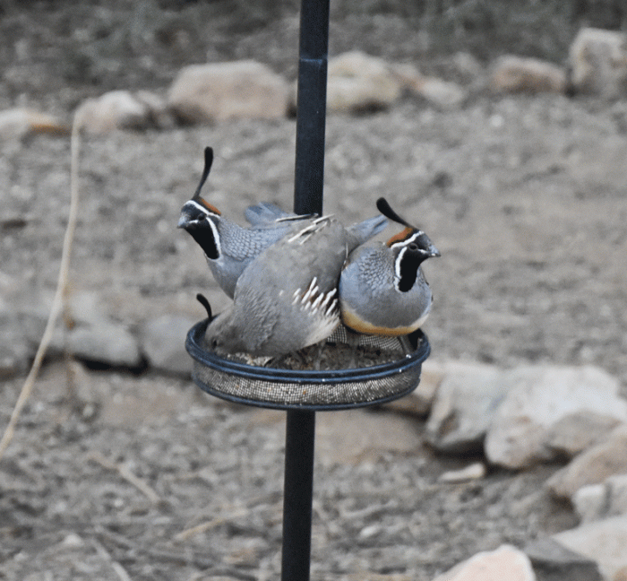
Gambel’s quail usually feed on the ground. When they approach the area, they usually trot along, so we were a bit surprised to see that one had flown up to the feeder.
Soon his buddies joined him.
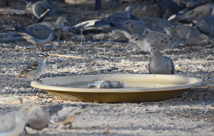
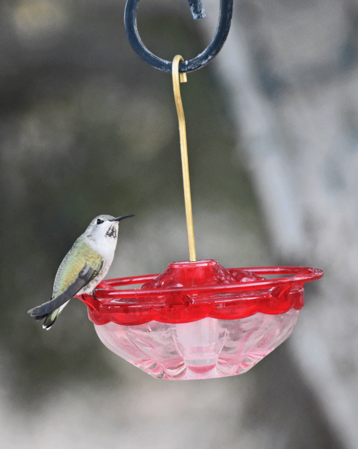
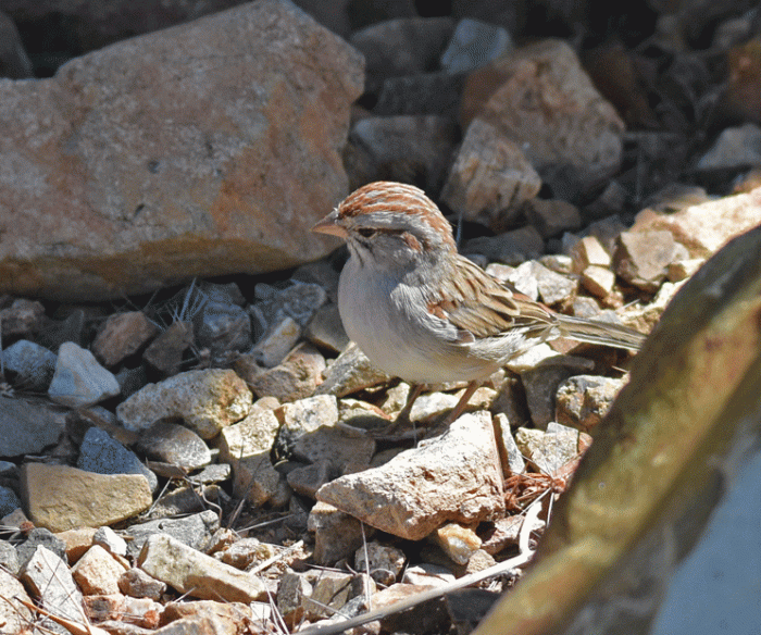
On the left side of the water dish is a White-crowned sparrow. We have about six or seven that come regularly. In the background, you can see a small portion of the number of Mourning doves that also come to visit the feeders. Some days there are fifty or so. They are also fun to watch.
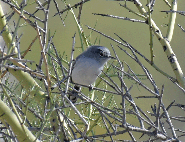
We also have a few other species that are around the yard, but don’t come to the feeder and generally hide in the trees and bushes. They are: Verdin, Black-tailed gnatcatchers and Phainopepla.
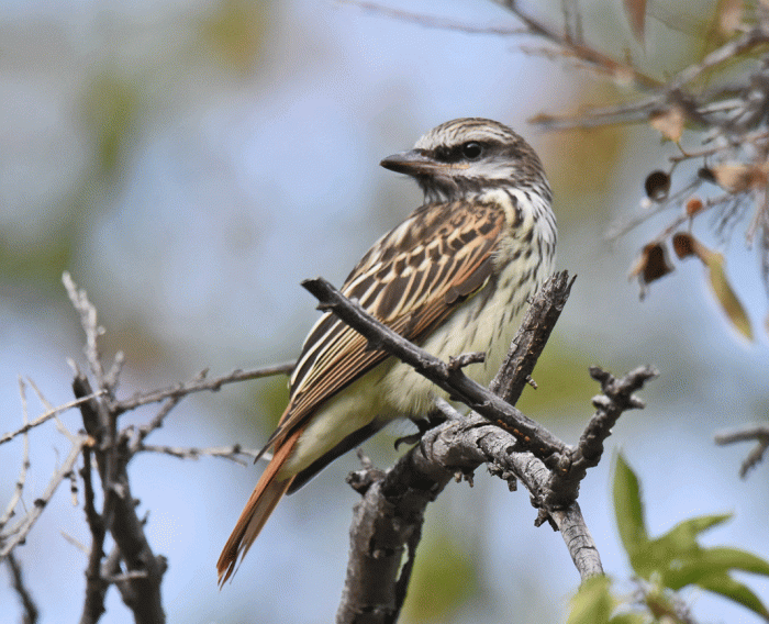
Our next blog will also be all about birds. Doug’s got some great pictures from the Arizona-Sonoran Desert Museum to share.


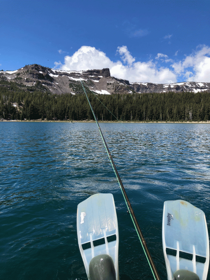
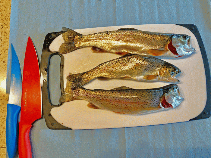
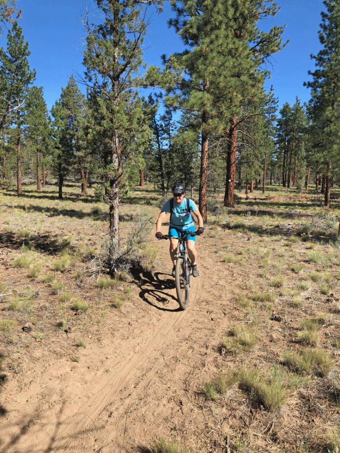
 On Wednesday and Thursday, while Wendy was in class, Doug fished at Three Creeks Lake. Here’s a view from his “belly boat” looking towards the overlook on Tam McArthur Rim. It’s the cliff in the centre of the photo.