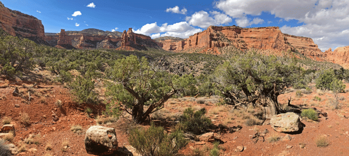
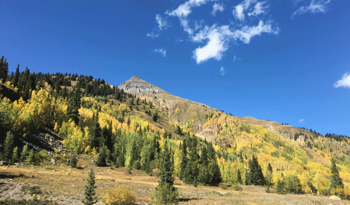
We found lots of things to do around Page, Arizona, and one of them was literally around Page. Page is situated up on a mesa and has a trail that circles the rim. We rode the ten mile (16 km) trail two times in our eight day stay. At one place the trail went between the fairways of the golf course and we had a very short section on pavement. Mostly the trail was on slick rock or rocky trail. We had good views of the Glen Canyon Dam and Lake Powell.


Here’s a photo of the Glen Canyon Dam from another day.

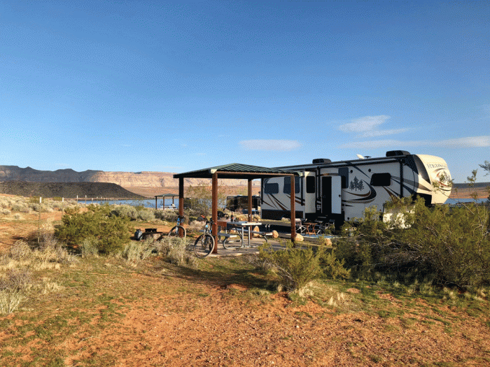
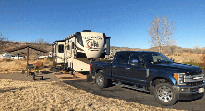
We stayed at Wahweap campground that is in the Glen Canyon Recreation Area. We had spectacular views from our spacious site.


Rainbow Bridge is an impressive natural bridge that can only be reached by boat or an overnight backpack of more than 20 miles. Since our long backpacking days are over, we opted for the boat. We sat on the open top deck for the hour and a half cruise, wearing plenty of layers in the morning chilly wind. When we got off the boat at the floating dock near Rainbow Bridge, we converted our pants to shorts by unzipping the legs and hiked the mile to the bridge in the baking hot sun.
Here are two views of Rainbow Bridge; the first one is as you approach it, and the second is from behind. We took a trail around to the other side of the bridge; no one is allowed to walk under the bridge since many of the indigenous people of the area consider it sacred.


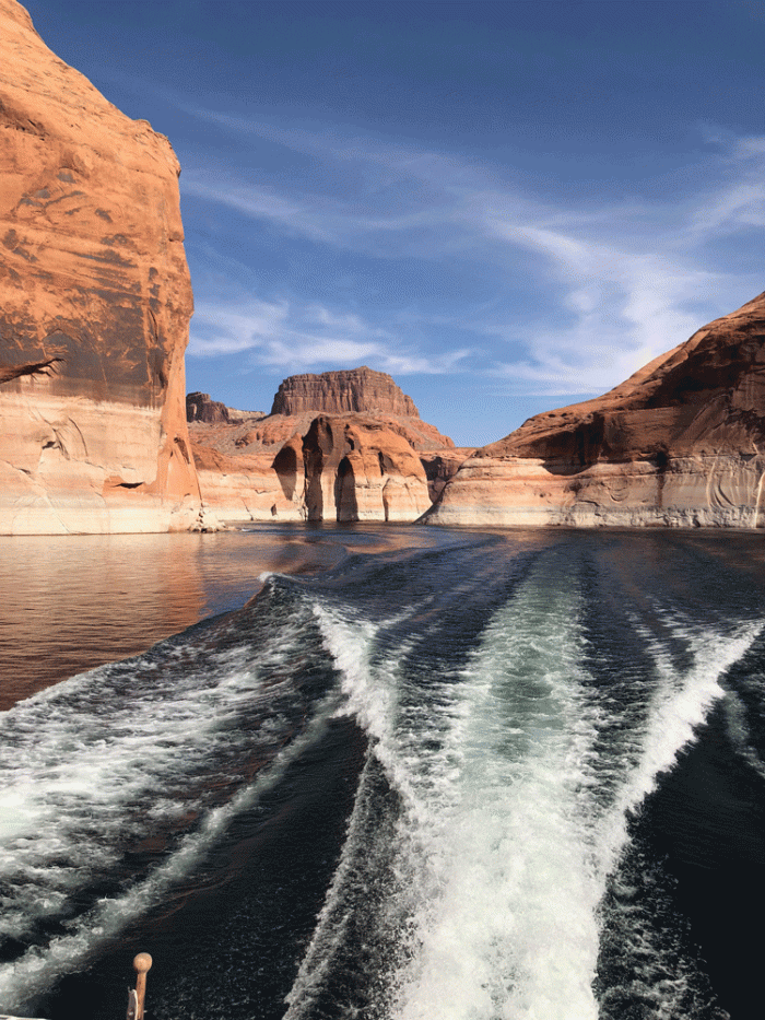
The cruise through Lake Powell was also impressive: clear water, blue skies, red sandstone cliffs. The white “bathtub ring” on the rock shows Lake Powell’s highest level back in the early 80s.
Our daughter and her husband joined us for a few days. We booked a tour to Canyon X in Antelope Canyon. The tour group is relatively new, so it was easier to get a booking. It seems that most tourists come to Page for just a few days to see Antelope Canyon. The tour was relaxed and our guide was personable. We got some amazing photos. Here are just a couple.


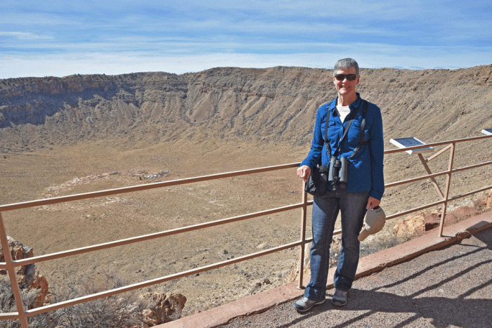
Our tour was an hour and a half, so we wanted to fill the day. Next on the tourist tick list is Horseshoe Bend on the Colorado River. It’s a 15-minute walk from the parking lot on the side of the main highway south of Page.
To get a good view of the river, you need to get quite close to the huge drop-off, which wasn’t a problem for the young people. We saw recent construction of a viewing platform with a wire security fence. Hopefully a person will still be able to climb out on the rocks if they choose when the project is complete.


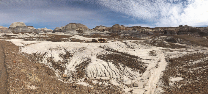
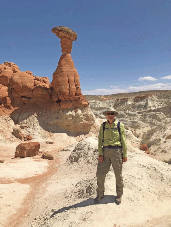
For the afternoon, we drove north into Utah and visited the toadstools. There’s a rough path up to the main group of toadstools. We then wandered around and worked our way back to the parking lot.
The next day, we drove back into Utah to Wire Pass trail. The trail follows a wash, goes through a slot canyon and joins Buckskin Gulch. We walked both directions in Buckskin Gulch until the water was too deep.


A short hike right in Page is to the “Hanging Garden.” Water seeps from between the sandstone layers and provides an environment for maidenhair ferns. It’s quite a contrast from the dry rocky terrain just metres away.


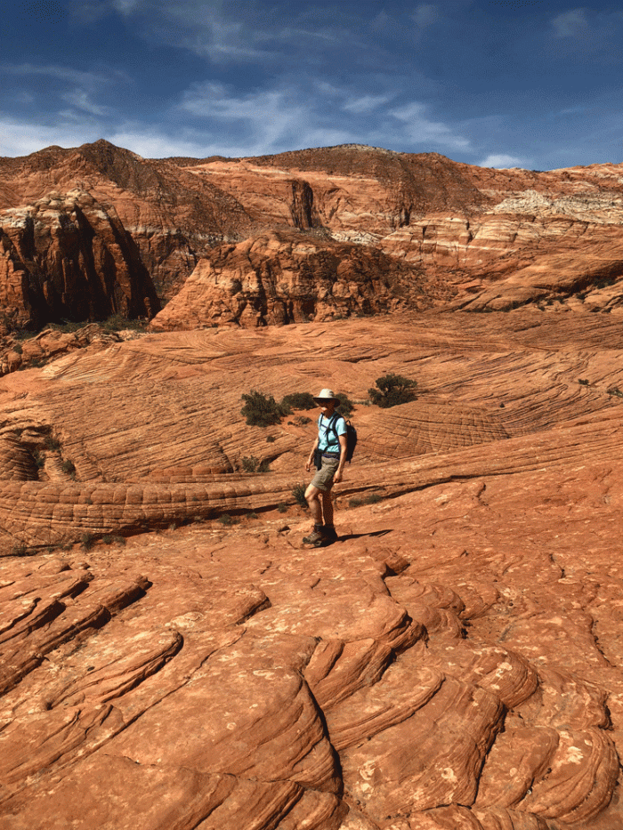
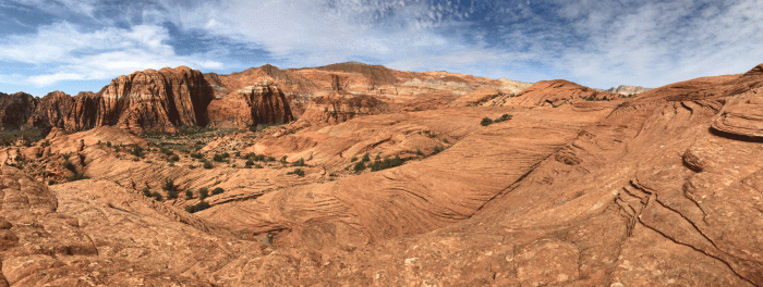
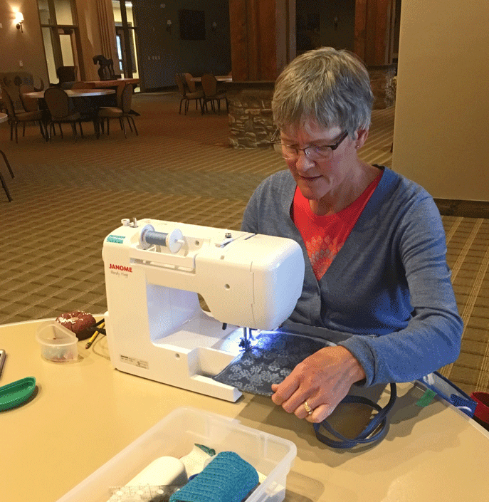
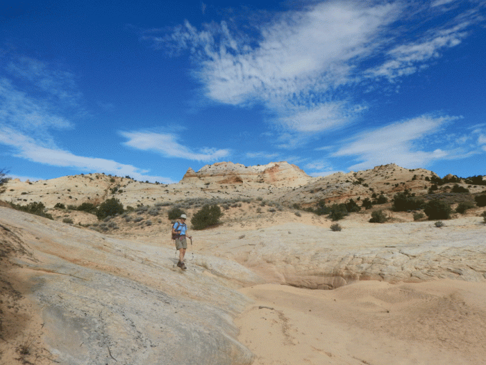
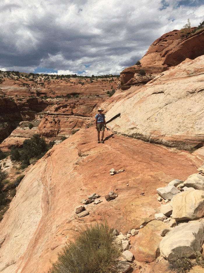
Yellow Rock is a favourite place, so we wanted to return. Back in 2015, Wendy hiked up with her quilt in the bottom of her backpack for a photo shoot. The patterns and colour in the rock fascinate us.


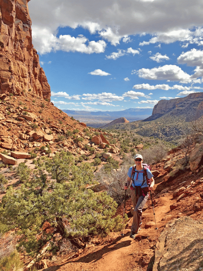
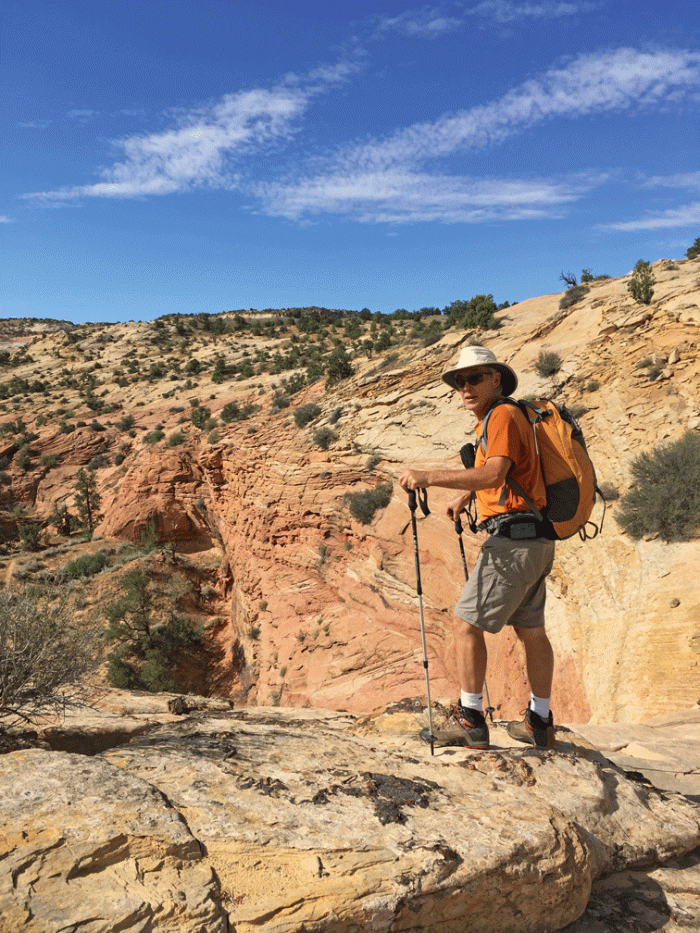
The hike to Yellow Rock was short, so we combined it with walking into Lower Hackberry canyon. We changed into our water shoes and enjoyed the cool water and shade.


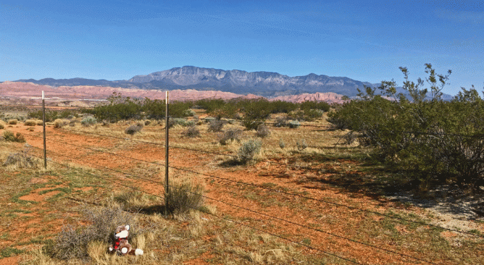
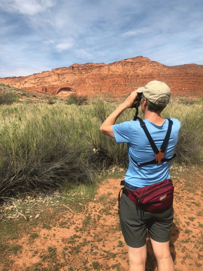
We did get a little bit of birding done as well. This loggerhead shrike posed on the fence beside a road we were exploring. Our campsite seemed to be one of the best spots. Yellow-rumped warblers flittered in the tree, but their quickness and the leaves made it difficult to get a good photo.


We enjoyed our visit to Page, and there are still interesting things that we missed doing. Next stop is in the Sedona area.