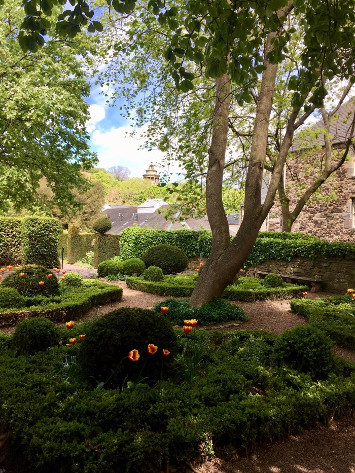
We stayed at the Zane Grey RV Resort, just outside Camp Verde, in a site surrounded by trees and flowering shrubs. It was close to Montezuma’s Castle, a National Monument. Montezuma’s Castle is another example of an ancient ruin being misnamed when it was first discovered. Southern Sinagua farmers built the five-story, 20-room dwelling sometime between 1100 and 1300. It had its maximum occupation in the 1300s and was occupied for another century, then abandoned. We did a little birding there on a breezy day since it was relatively sheltered and beside a creek.
Here’s a view of our campsite, taken from the back of a vacant site across the road. The second photo is of the “castle” at Montezuma’s Castle NM.
We also visited the hillside community of Jerome. In the early 1900s, Jerome was a booming mining town of 15,000 perched on the mountainside. It was basically a ghost town by the 1960s. Hippies moved in in the 70s and now Jerome is a thriving community of 500 filled with shops, galleries and restaurants. We first visited the Jerome State Historic Park, in the preserved Douglas Mansion. The short video presentation about the history of Jerome was worth the price of admission. We then drove farther up to the main town and were lucky enough to get a parking spot.
Here’s a view of a partial building; behind it is a glass-blowing workshop. The Jerome Chamber of Commerce had some interesting displays in their little museum.
After being windy and cool, the weather improved enough for mountain biking and hiking. On Saturday, we drove up to Sedona (about 45 minutes) to hike to Cathedral Rock. There was no room in the parking lot when we got there at 9:00. We should have known better; hiking in Sedona is very popular. Luckily we consulted our hiking guidebook and map and found a “back way” in. (Baldwin trail to Templeton to Cathedral Rock trail) After half an hour of hiking, we were looking down at the jammed parking lot that we had first attempted to park. The climb up to the saddle was another half hour and was more of a scramble on slick rock than a hike. With some strategy, Doug was able to get his quintessential photo of Wendy near the edge. The photo doesn’t show how crowded it was. The route we took also allowed a great view back to Cathedral Rock in the afternoon light.
We enjoyed our lunch in a quiet spot near Oak Creek, very close to this vortex site. Vortex sites are places where some people believe energy crackles most intensely. And we had to include a cactus in bloom.
We got up earlier on Sunday and drove through to West Sedona and up to Boynton Pass Road and the Fay Canyon Trailhead. This trailhead was only just beginning to fill at 8:30 when we started our bike ride on the Aerie Trail. We made a loop around Doe Mountain and connected to the Cockscomb trail. The trail was a bit rocky but “rideable”, with the more technical sections at the beginning of the loop, and some nice flowy sections and fun “whoops” near the end.
Since we had already secured a parking spot, we walked across the road and hiked the short Fay’s Canyon trail. Highlights were seeing a rattlesnake up close (without consequences) and identifying a black-throated gray warbler.
Another day, we rode starting at the Bell Rock Trailhead and repeated most of a route that Wendy had ridden with friends a couple of years ago, when Doug was not yet able to get back on his bike. We rode up the Bell Rock Pathway and joined the Llama trail. We didn’t mind walking the canyon section of Little Horse. Then we cruised back via the Bell Rock Pathway.
Here are a couple of views from the Llama trail.
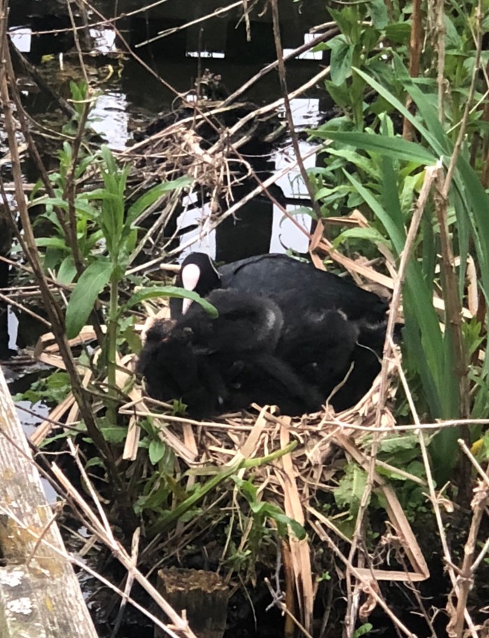
We found a hike that was closer to our RV park in Camp Verde and was also considered a “hotspot” for birding: West Clear Creek trail. The trail passes a popular swimming hole, where people can jump of the red rock cliffs into the deep pools. No photos of Wendy jumping in (we didn’t come to swim) but you could check out the “Bull Pen” swimming hole on-line if you’re interested. We did cross the creek twice; one crossing had mid-thigh water with a rocky bottom and luckily a gentle current. We saw some nice birds: our first really good look at an ash-throated flycatcher and a pair of summer tanagers were the highlights.
West Clear Creek has water in it all year and flows into the Verde River.

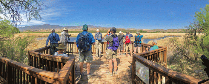
We travelled about half an hour northwest to Dead Horse Ranch State Park in Cottonwood, AZ to be on site for the Verde Valley Birding and Nature Festival. We both went on field trips for all four mornings of the festival. There were afternoon and evening sessions offered, but we were almost saturated with viewing birds from our morning sessions (about 45-55 species each day).
Here is our group at Travasci Marsh, reached by a trail system right in Dead Horse Ranch State park. The highlights of this trip were seeing a yellow-breasted chat and Bullock’s oriole.
We also had good bird viewing at our trailer. The previous campers at our site had sprinkled bird seed on the ground in the dirt beside the picnic table and between the bushes and brush. Our regular visitors were Gambel’s quail, green-tailed towhees, sparrows (Brewer’s, chipping, white-crowned, black-throated and lark), and house finches. One day as we were sitting out, a pair or northern cardinals flew into the nearby bushes. Doug was patient enough to capture these photos of the male (bright) and the female (with attitude!).
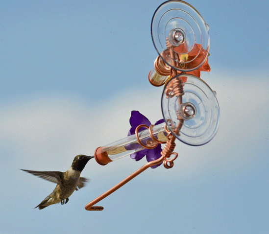
And there were always the hummingbirds. We purchased this cute window feeder at the Mesa market. Amazingly, the hummingbird’s tongue can reach to the end of the tube. We also had little verdin feeding from them. Here’s a black-throated hummingbird feeding outside our window of the trailer.
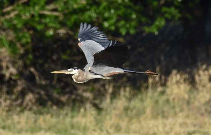
Here are some highlights of the birds we saw. A great blue heron in flight.
Male (red) and female (yellow) summer tanagers.
A male lazuli bunting and a male Bullock’s oriole.
We listened to chatter of the yellow-breasted chat on all four days until the last day when one finally showed itself. (left bird). The more drabber bird on the right is the ash-throated flycatcher, another bird that we heard more than we saw.
And here are a few LGJs “little gray jobs”. The gray flycatcher on the left is identifiable by it’s tail-wagging behaviour. The gray vireo (right bird) was more elusive, but Doug was quick enough to get this shot.
We had a great time birding at the Verde Valley Birding and Nature Festival. Each of our guides was knowledgeable, each had their own style and strength, and we learned and picked up things from them all. We visited four different birding locations: Montezuma Well, Sedona Wetlands, Bubbling Ponds Preserve IBA and Tavasci Marsh, all places that we will return to on our own when we come to this area again.
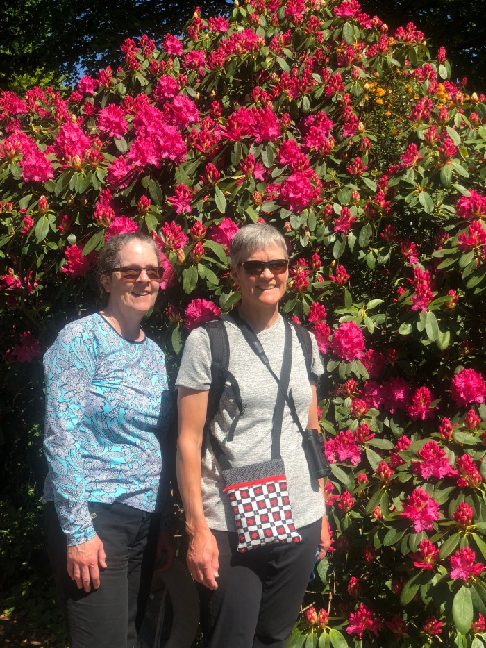
We are on our way home now and can hardly believe that we’ve been away for over six weeks. Our new fifth wheel feels like home and has met and exceeded our expectations. Stay tuned for our summer adventures in “Big Red.”


 The weather was unsettled when we drove north. We had hoped to see the Old Man of Storr, but it was too cloudy and rainy to bother getting out of the car. It didn’t seem like it was raining much when we got to Lealt Gorge, so we took the short trail to the coast for the view of the interesting rock formations. We were quite wet from the Scottish mist blowing sideways by the time we were back in the car.
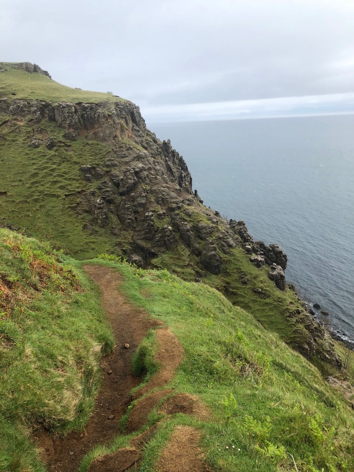
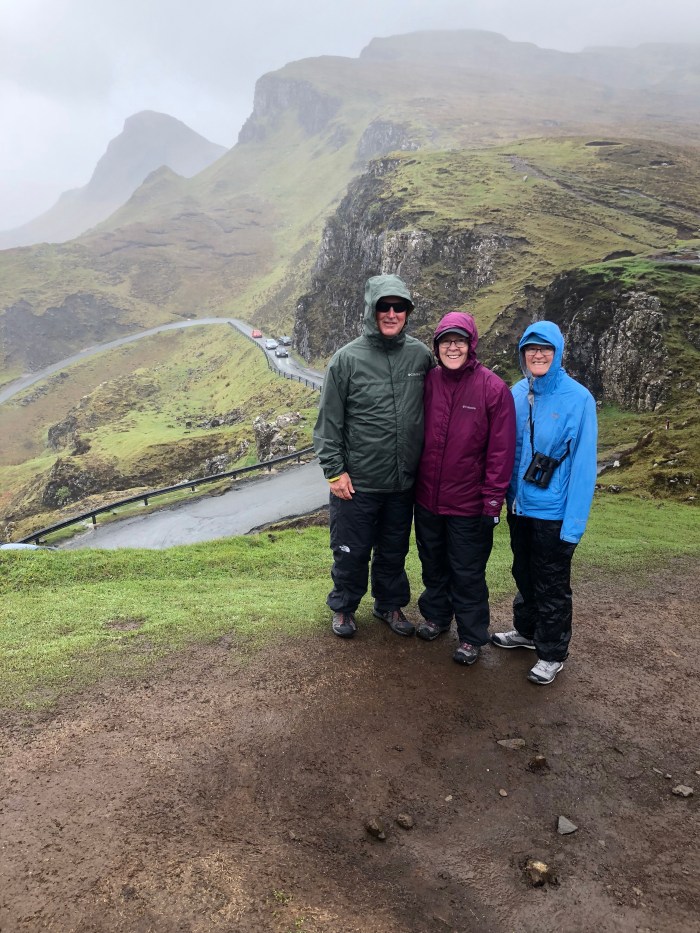


 Without rushing, we got up to the viewpoint by Meg’s Mon a and had the place to ourselves for a few minutes.