This September trip was meant to start with the Sisters Folk Festival, but wildfires and the resulting poor air quality forced the festival to cancel. We didn’t know this for sure until we were in Central Oregon and five hours into our second day of driving. So we regrouped. While Wendy stocked the trailer with groceries, (we’d already missed our planned Costco stop) Doug searched for the closest place out of the smoke and made a reservation at an RV park in Lakeview, Oregon; another four hour drive. The smoke cleared after a thunderstorm when we were just about at Lakeview, so although we travelled on roads that were new to us, we didn’t see much of the landscape.
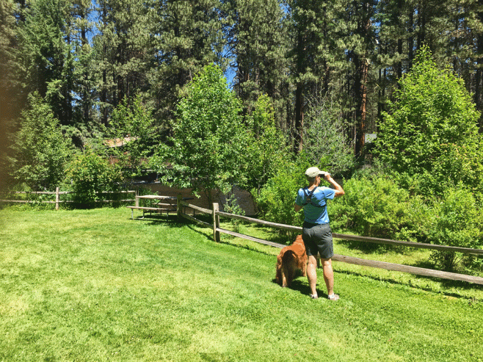
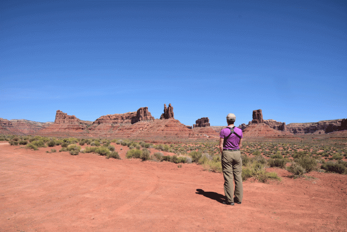
We stayed two nights at the Junipers RV Resort, about 10 miles west of Lakeview, and it was perfect for us. We breathed clear air under sunny skies, hiked trails from the RV park, visited museums in Lakeview and did some bird-watching on the nearby reservoir. Here’s a photo of Wendy and Tali under blue skies at the Junipers RV park and a photo of an old quilt in the Schminck Museum in Lakeview. The Schmincks ordered their house from a Sears-Robuck catalogue and throughout their lives, collected a wide array of items, from household to firearms, and set up a free museum in their basement. Their whole house is now a museum, funded by private donations.


The time in Lakeview also allowed us to plan where to go next, since our idea to visit Crater Lake was also a “no-go” due to smoke. So we made an itinerary that used the time before our Bryce Canyon reservation on September 15. Which is how we ended up in Wells, Nevada for two nights. Wells is a community of 1500 where dilapidated motels decay in the once thriving downtown, and all the new hotel construction is out by the interstate.


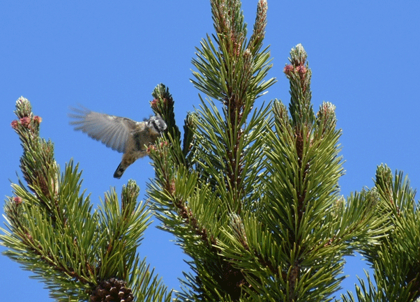
Wells was a good place to stage from to visit Ruby Lakes National Wildlife Refuge, an hour and a half drive south on the main highway and secondary and gravel roads. Once covered by a 200-foot deep ancient lake, the “Ruby Marshes” now provide habitat for hundreds of species of birds and mammals. There is an auto-driving route on the dikes that were not crowded, so we could stop almost anywhere that we chose. We got some close views of a Virginia Rail and a Sora.


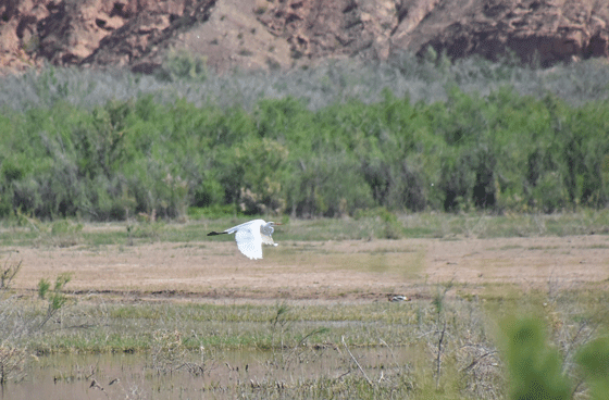
We saw many White-faced ibises, both flying and standing still. The white-face on a White-faced ibis is only discernable on the dark bird during breeding season, but the bird has a red iris (which is inconveniently blocked by a reed in the photo below) to distinguish it from a glossy ibis. We had a good look at a lone gull-like bird, which even with a photo is difficult to identify, but we’re going with a Forster’s Tern.


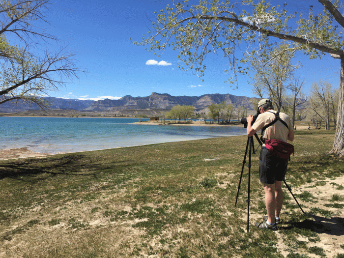
Wendy set up the scope with her “PhoneSkope,” which allowed her to take photos of a Great blue heron preening and sipping water. (Heron Yoga)


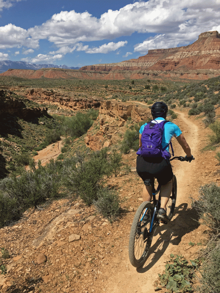
We realized that there was a national park we had barely heard about that was close to our route to Utah, so we stopped at Baker, Nevada to visit Great Basin National Park. The “Whispering Elms” was a motel, RV park, tent campground and bar all in one. It had plenty of shade. We’ve developed an uneasy fondness for gravel over the years because it’s not dusty or muddy.


On our first afternoon, we left the 30 degree heat of the valley floor and drove up the winding Wheeler Peak Scenic Drive to about 10 000 feet. (It’s funny how we are metric with temperature, but not with elevation.) We enjoyed the cooler air on a trail up to a bristlecone pine grove. (1½ hours total). Some bristlecone pines are nearly five thousand years old – the oldest living things in the world. The trees grow very slowly and are highly resistant to decay. They don’t rot, so they may remain standing for thousands of years after they die.

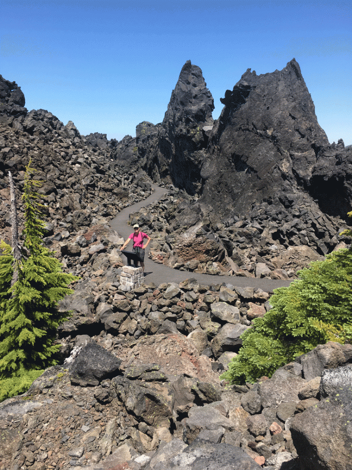
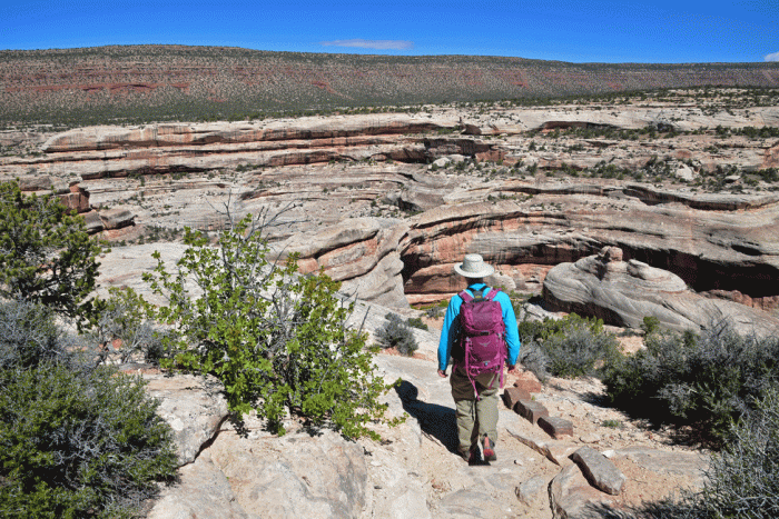
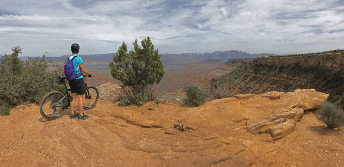
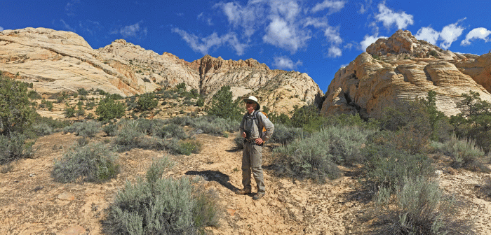
The next day had a good forecast, and all the reservations for the cave tours were booked. (Check out recreation.gov if you are planning to come to the park to get your reservation in advance.) Which meant that the 13,000 foot Wheeler Peak called to us. The trailhead started at just over 10 000 feet and was basically railway grade for the first hour, through aspen forest and mountain meadows. The photo of Doug below shows the route, from just below the trees on the far right, to the back of the rocky bluff and basically along the skyline to the top.

Doug got a great shot of the Wheeler Peak highlighted with yellow-orange aspen in the foreground.

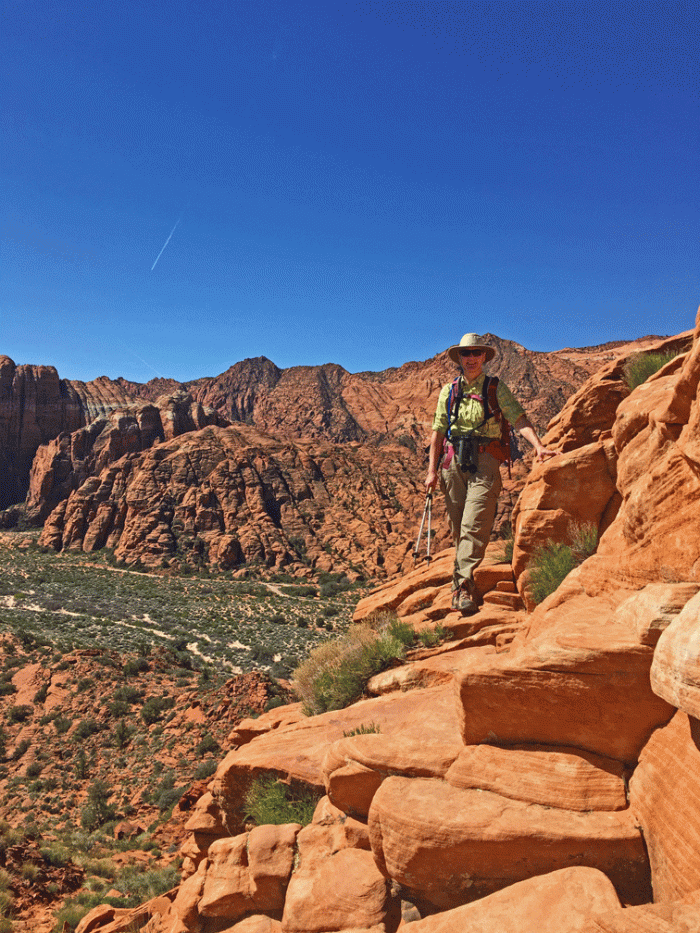
There had been a lot of work put into the trail through the rock and rubble and it was easy to navigate for both of us who have tired artificial joints. We even managed the altitude reasonably well, and while we weren’t sprinting at the top, we were still moving fine. (Perhaps there also was that thought that if we stopped for very long we’d stiffen up altogether!) Doug took a photo of Wendy with a bottle of beer that had been left in the mailbox at the summit. There was no way we were drinking alcohol at that elevation; we didn’t even want to eat until we got down lower. (Except for the always available Werther’s). The summit had some built-up rock walls that would offer shelter and looked big enough for someone to use as a camp. Perhaps the rules were different in the past; now it is a no-camping zone. You can make out the road up to the trailhead and a campsite, on the green mountain behind Doug in the photo below.


The hike down the mountain was easier than we had expected. Wendy even had time to look at some grey headed dark-eyed juncos (a new variety of juncos for her) and was surprised she was able to catch up to Doug (who didn’t stop, since Wendy was the only one with binoculars). The climb took us about six hours.
We left Nevada the next morning and headed to new adventures in Utah, based out of Escalante and Bryce Canyon National Park. We’ll try and post soon.